- Usage in publication:
-
- Talcott diabase*
- Modifications:
-
- Named
- AAPG geologic province:
-
- Hartford basin
- New England province
Summary:
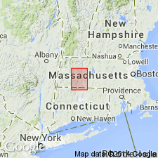
The Talcott Diabase is here named. It extends across CT, barely enters the southern edge of the Holyoke quad, but does not extend into MA.
Source: GNU records (USGS DDS-6; Reston GNULEX).
- Usage in publication:
-
- Talcott basalt
- Modifications:
-
- Revised
- AAPG geologic province:
-
- Hartford basin
- New England province
Summary:
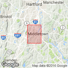
Talcott Basalt of the Newark Group is used in this area. Overlies New Haven Arkose; underlies Shuttle Meadow Formation. Age is Late Triassic.
Source: GNU records (USGS DDS-6; Reston GNULEX).
- Usage in publication:
-
- Talcott lava member
- Modifications:
-
- Revised
- AAPG geologic province:
-
- Hartford basin
- New England province
Summary:
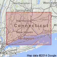
The Talcott is here mapped as the Talcott Lava Member of the Meriden Formation. Overlies New Haven Arkose; underlies the lower sedimentary member of the Meriden Formation. Age is Late Triassic.
Source: GNU records (USGS DDS-6; Reston GNULEX).
- Usage in publication:
-
- Talcott Formation
- Modifications:
-
- Revised
- AAPG geologic province:
-
- New England province
- Hartford basin
Summary:
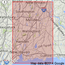
Talcott Formation of the Meriden Group is used because the flows contain interbedded sedimentary rocks.
Source: GNU records (USGS DDS-6; Reston GNULEX).
- Usage in publication:
-
- Talcott Formation
- Modifications:
-
- Revised
- AAPG geologic province:
-
- Hartford basin
- New England province
Summary:
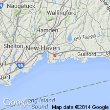
The Talcott Formation in the Gaillard graben [Hartford basin] consists of seven informal members including four basalt flows interbedded with three sedimentary units: basal basalt member, lower sedimentary member, lower massive basalt member, middle sedimentary member, pillowed and brecciated basalt member, upper sedimentary member, and upper basalt breccia member. Thickness is 560 to 1,800 ft (170 to 330 m).
Source: GNU records (USGS DDS-6; Reston GNULEX).
- Usage in publication:
-
- Talcott Basalt
- Modifications:
-
- Age modified
- AAPG geologic province:
-
- Hartford basin
- New England province
Summary:
Age of the Talcott Basalt is early Hettangian based on sporomorph assemblages from the overlying Shuttle Meadow Formation.
Source: GNU records (USGS DDS-6; Reston GNULEX).
- Usage in publication:
-
- Talcott Basalt
- Modifications:
-
- Revised
- AAPG geologic province:
-
- Pomperaug basin
- Hartford basin
- New England province
Summary:
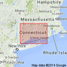
Talcott Basalt of the Newark Supergroup is mapped in the Hartford and Pomperaug basins.
Source: GNU records (USGS DDS-6; Reston GNULEX).
For more information, please contact Nancy Stamm, Geologic Names Committee Secretary.
Asterisk (*) indicates published by U.S. Geological Survey authors.
"No current usage" (†) implies that a name has been abandoned or has fallen into disuse. Former usage and, if known, replacement name given in parentheses ( ).
Slash (/) indicates name conflicts with nomenclatural guidelines (CSN, 1933; ACSN, 1961, 1970; NACSN, 1983, 2005, 2021). May be explained within brackets ([ ]).

