

- Usage in publication:
-
- Tachatna series*
- Modifications:
-
- Named
- Biostratigraphic dating
- Dominant lithology:
-
- Limestone
- Slate
- Arkose
- AAPG geologic province:
-
- Alaska Southwestern region
Summary:
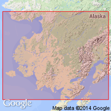
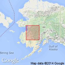
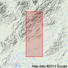
Extends from some distance below junction of Kuskokwim with East Fort down to junction of Tachatna [Takotna] River and from Tachatna River to below Vinasale, southwestern AK. Consists of gray limestones, generally thin-bedded and fissile, carbonaceous and chloritic slates, and occasional generally fine-grained arkoses. Is considerably folded and contains frequent quartz veins. Unconformably underlies Holiknuk series (new). Fossils pronounced by Charles Schuchert to indicate probable Middle Devonian(?) age.
Source: GNU records (USGS DDS-6; Menlo GNULEX).
- Usage in publication:
-
- "Takotna series"*
- Modifications:
-
- Revised
- AAPG geologic province:
-
- Alaska Southwestern region
Summary:
"Tachatna Series" of Spurr (1900) is referred to as "Takotna series" due to spelling changes. Unit outcrops from point below junction of Kuskokwim with East Fork to about 10 mi below Vinasale. Consists in the main of limy shale or impure limestone, carbonaceous slates and arkose layers. Below Vinasale unit is intruded by porphyritic dikes. Abundant fossils, at point on Kuskokwim, about half way between forks and Takotna River, indicate probable Middle Devonian(?) age.
Source: GNU records (USGS DDS-6; Menlo GNULEX).
- Usage in publication:
-
- "Takotna series"*
- Modifications:
-
- Age modified
- AAPG geologic province:
-
- Alaska Southwestern region
Summary:
Age is Middle Devonian based on fossils collected by Spurr on north bank of Kuskokwim about halfway between forks and mouth of Takotna River. (Fossils identified by Charles Schuchert.)
Source: GNU records (USGS DDS-6; Menlo GNULEX).
- Usage in publication:
-
- Takotna formation*
- Modifications:
-
- Revised
- AAPG geologic province:
-
- Alaska Southwestern region
Summary:
Map legend has unit referred to as Takotna formation. Occurs in upper Kuskokwim region. Age given as Middle Devonian.
Source: GNU records (USGS DDS-6; Menlo GNULEX).
For more information, please contact Nancy Stamm, Geologic Names Committee Secretary.
Asterisk (*) indicates published by U.S. Geological Survey authors.
"No current usage" (†) implies that a name has been abandoned or has fallen into disuse. Former usage and, if known, replacement name given in parentheses ( ).
Slash (/) indicates name conflicts with nomenclatural guidelines (CSN, 1933; ACSN, 1961, 1970; NACSN, 1983, 2005, 2021). May be explained within brackets ([ ]).