- Usage in publication:
-
- Tahkandit series*
- Modifications:
-
- Named
- Biostratigraphic dating
- Dominant lithology:
-
- Limestone
- Shale
- Conglomerate
- AAPG geologic province:
-
- Alaska East-Central region
Summary:
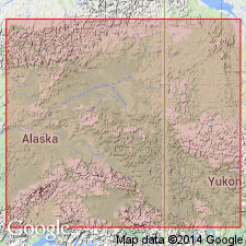
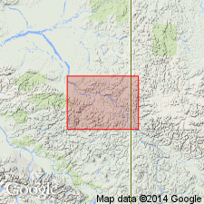
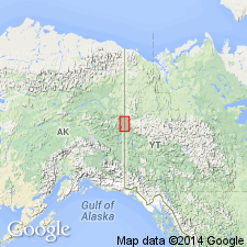
Named taken from Tahkandit River which enters Yukon near where Carboniferous fossils were found, east-central AK. Is series of white or gray limestones alternating with carbonaceous shales and sometimes with conglomerates. Overlies Rampart series (new); underlies Mission Creek series (new). An erosion interval in some part of Tahkandit series is suspected. Contains plant remains of probable Devonian(?) age and good late Carboniferous [Pennsylvanian] fossils identified by Charles Schuchert.
Source: GNU records (USGS DDS-6; Menlo GNULEX).

- Usage in publication:
-
- Tahkandit limestone*
- Modifications:
-
- Revised
- Age modified
- Biostratigraphic dating
- AAPG geologic province:
-
- Alaska East-Central region
Summary:
Type locality for Tahkandit limestone designated along Yukon River just above mouth of Nation River (the old Indian name for which is Tahkandit). [Note this is name Spurr (1898) gave to his "Tahkandit series" in same area.] Tahkandit limestone also occurs in belt crossing valley of Trout Creek, on south bank of Yukon below Coal Creek, and along international boundary near Ettrain Creek. Measured section of Tahkandit limestone and underlying Nation River formation described on southwest bank of Yukon above mouth of Nation River. Consists of cream-colored to white massive limestone with some beds of conglomerate, sandstone and shale in lower half. Is about 527 ft thick. Believed to grade downward into Nation River formation. Underlies without apparent angular discordance Upper Triassic rocks. Early Permian fossils identified by G.H. Girty are listed with localities.
Source: GNU records (USGS DDS-6; Menlo GNULEX).

- Usage in publication:
-
- Tahkandit Limestone*
- Modifications:
-
- Revised
- Age modified
- Biostratigraphic dating
- AAPG geologic province:
-
- Alaska East-Central region
Summary:
Composite type section revised to include massive cliff-forming limestone section and limestone and sandstone section along slough of Yukon River. Excluded are rocks more properly assigned to Nation River Formation. Tahkandit is 270 ft thick at type and 345 ft elsewhere. Unconformably overlies Nation River Formation. Abundant brachiopods are described from upper Leonard and lower Guadalupe Provincial Series (Early Permian). In discussing previous work, authors noted that Spurr's (1898) Tahkandit Series included white limestone with basal sandstone and conglomerate (referred to as Tahkandit Limestone in this report), the underlying Nation River Formation, and other rocks as old as Precambrian(?) and as young as Cretaceous.
Source: GNU records (USGS DDS-6; Menlo GNULEX).
For more information, please contact Nancy Stamm, Geologic Names Committee Secretary.
Asterisk (*) indicates published by U.S. Geological Survey authors.
"No current usage" (†) implies that a name has been abandoned or has fallen into disuse. Former usage and, if known, replacement name given in parentheses ( ).
Slash (/) indicates name conflicts with nomenclatural guidelines (CSN, 1933; ACSN, 1961, 1970; NACSN, 1983, 2005, 2021). May be explained within brackets ([ ]).

