The National Geologic Map Database is migrating to a new infrastructure. We apologize for any service disruptions during this process.
|
|---|


- Usage in publication:
-
- Tadpole Ridge Quartz Latite
- Modifications:
-
- Named
- Geochronologic dating
- Dominant lithology:
-
- Quartz latite
- AAPG geologic province:
-
- Basin-and-Range province
Summary:
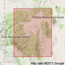
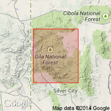
Named for Tadpole Ridge, west end Pinos Altos Mountains, Grant Co, NM in the Basin-and-Range province. No type locality designated. Its source is unknown. Has not been studied in detail. Consists of [quartz latite] numerous ash flows. Has four cliff-forming columnarly-jointed welded zones separated by relatively unwelded benches. Biotite sample gave a K-Ar age of 31.2 +/-0.9 m.y. No complete section measured. Total thickness can be 1,000 to 2,000 feet. Also called Tadpole Ridge Formation. Is of Tertiary age. Shown on figure 2 as younger than an unnamed rhyolite tuff and older than Alum Mountain Formation (new).
Source: GNU records (USGS DDS-6; Denver GNULEX).
- Usage in publication:
-
- Tadpole Ridge Quartz Latite
- Modifications:
-
- Paleomagnetics
- AAPG geologic province:
-
- Basin-and-Range province
Summary:
Sections have been examined at Tadpole Ridge, Cherry Creek, and Canyon Creek, north of Silver City, Grant Co, NM, Basin-and-Range province. The extensive Tadpole Ridge Quartz Latite ash-flow tuff is everywhere reversely magnetized. Magnetostratigraphic position of Tadpole Ridge unit within a preliminary model of the middle Tertiary paleomagnetic reversal pattern is depicted on fig. 4. In this same area Elston and others, (1970) have mapped Alum Mountain Formation overlying Tadpole Ridge. Farther north in the Black Range, Hells Mesa Formation is reversely magnetized--thus, in this report the authors have correlated it with Tadpole Ridge.
Source: GNU records (USGS DDS-6; Denver GNULEX).
- Usage in publication:
-
- Tadpole Ridge Quartz Latite*
- Modifications:
-
- Geochronologic dating
- AAPG geologic province:
-
- Basin-and-Range province
Summary:
Has a 40Ar/39Ar age of 35.14 m.y. [or Oligocene]. Sampled in Mogollon-Datil volcanic field, Basin-and-Range province.
Source: GNU records (USGS DDS-6; Denver GNULEX).
For more information, please contact Nancy Stamm, Geologic Names Committee Secretary.
Asterisk (*) indicates published by U.S. Geological Survey authors.
"No current usage" (†) implies that a name has been abandoned or has fallen into disuse. Former usage and, if known, replacement name given in parentheses ( ).
Slash (/) indicates name conflicts with nomenclatural guidelines (CSN, 1933; ACSN, 1961, 1970; NACSN, 1983, 2005, 2021). May be explained within brackets ([ ]).