- Usage in publication:
-
- Tabb Formation
- Modifications:
-
- Named
- Dominant lithology:
-
- Sand
- Clay
- AAPG geologic province:
-
- Atlantic Coast basin
Summary:
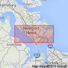
Beach and nearshore marine and fluvial-estuarine deposits in southeast VA here named Tabb Formation. Unit is described as gray, bluish-gray, tan, reddish-brown, or yellowish-brown clay and clayey, silty and gravelly sand. Tabb is subdivided into ascending Sedgefield, Lynnhaven, and Poquoson Members (all named). Unit unconformably overlies Norfolk Formation or Yorktown Formation and underlies Holocene sediments. Age is late Pleistocene.
Source: GNU records (USGS DDS-6; Reston GNULEX).

- Usage in publication:
-
- Tabb Formation*
- Modifications:
-
- Overview
- AAPG geologic province:
-
- Atlantic Coast basin
Summary:
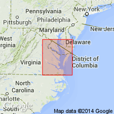
Late Pleistocene Tabb Formation and its three subdivisions, Sedgefield, Lynnhaven, and Poquoson Members, mapped west and south of Chesapeake Bay in the Virginia Coastal Plain. Overlies middle Pleistocene Shirley Formation.
Source: GNU records (USGS DDS-6; Reston GNULEX).

- Usage in publication:
-
- Tabb Formation
- Modifications:
-
- Overview
- Areal extent
- AAPG geologic province:
-
- Atlantic Coast basin
Summary:
Nomenclature on State map follows Johnson (1976). Tabb Formation is divided into (ascending) Sedgefield, Lynnhaven, and Poquoson Members. Composed of sand, silt, and peat of coast-parallel plains seaward of the Suffolk and Harpersville scarps; includes coeval terrace deposits along major river valleys west to Fall Line. Overlies middle Pleistocene Shirley Formation. Age is late Pleistocene.
Source: GNU records (USGS DDS-6; Reston GNULEX).
For more information, please contact Nancy Stamm, Geologic Names Committee Secretary.
Asterisk (*) indicates published by U.S. Geological Survey authors.
"No current usage" (†) implies that a name has been abandoned or has fallen into disuse. Former usage and, if known, replacement name given in parentheses ( ).
Slash (/) indicates name conflicts with nomenclatural guidelines (CSN, 1933; ACSN, 1961, 1970; NACSN, 1983, 2005, 2021). May be explained within brackets ([ ]).

