

- Usage in publication:
-
- Sylvan shale*
- Modifications:
-
- Named
- Dominant lithology:
-
- Shale
- AAPG geologic province:
-
- Ouachita folded belt
- South Oklahoma folded belt
Summary:
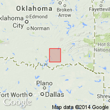
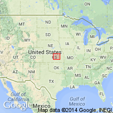
Named for village of Sylvan, Tishomingo quad, Johnston Co, OK, South Oklahoma folded belt province. No type locality designated. Occurs in the northwestern part of Atoka quad, Ouachita tectonic belt province, and to west in Tishomingo quad. Is a soft, green, fissile shale which weathers easily and forms swales between the harder limestone formations. In Atoka quad thickness is 50 ft, but to west in Arbuckle Mountains it increases to 300 ft. Overlies Viola limestone (new) and is overlain by Hunton limestone (new). Geologic map. Columnar section. Age from fossils is probably Early Silurian.
Source: GNU records (USGS DDS-6; Denver GNULEX).
- Usage in publication:
-
- Sylvan shale
- Modifications:
-
- Biostratigraphic dating
- AAPG geologic province:
-
- Ouachita folded belt
Summary:
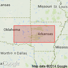
On the basis of graptolites is equivalent to Polk Creek shale of Arkansas. Age is Late Ordovician. Ordovician-Silurian contact placed at top of formation.
Source: GNU records (USGS DDS-6; Denver GNULEX).
- Usage in publication:
-
- Sylvan shale
- Modifications:
-
- Areal extent
- AAPG geologic province:
-
- Ouachita folded belt
- Arkoma basin
- Chautauqua platform
Summary:
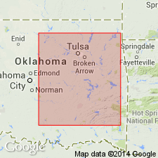
Extended in subsurface to central and eastern OK, Arkoma basin and Chautauqua platform. Based on insoluble residues, equivalent to Cason shale of AR and Maquokela shale of the Mississippi Valley. Age is Late Ordovician, Richmond.
Source: GNU records (USGS DDS-6; Denver GNULEX).
- Usage in publication:
-
- Sylvan shale
- Modifications:
-
- Revised
- AAPG geologic province:
-
- South Oklahoma folded belt
- Ouachita folded belt
Summary:
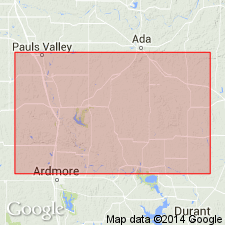
Designated as uppermost formation of Patterson Ranch group (new) in Ouachita Mountains, OK, Ouachita tectonic belt and South Oklahoma folded belt provinces. Overlies Fernvale formation of Patterson Ranch; underlies Chimney Hill formation. Shown in table. Graptolites and physical characteristics of Sylvan are also found in Polk Creek formation of the Ouachita region, OK. Johns Valley shale contains three graptolite species found in Sylvan. Ordovician in age.
Source: GNU records (USGS DDS-6; Denver GNULEX).
- Usage in publication:
-
- Sylvan shale
- Modifications:
-
- Areal extent
- AAPG geologic province:
-
- Salina basin
- Central Kansas uplift
- Nemaha anticline
- Sedgwick basin
Summary:
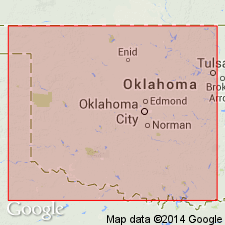
Late Ordovician shales in the subsurface in central KS called Maquoketa-Sylvan shales are approximately equivalent to Maquoketa formation of IA and to Sylvan shale in OK. Consists of: an upper, dolomitic gray shale, siliceous and cherty in places; and a lower, soft, flaky shale. Underlies Hunton formation; overlies Viola. Thickness is 0-100 ft. Thins to southeast and missing from most of Central Kansas uplift. Isopach map. Age is Late Ordovician.
Source: GNU records (USGS DDS-6; Denver GNULEX).

- Usage in publication:
-
- Sylvan shale
- Modifications:
-
- Overview
- AAPG geologic province:
-
- Salina basin
- Nemaha anticline
- Sedgwick basin
- Forest City basin
- Central Kansas uplift
Summary:
Sylvan shale. In subsurface of northeastern Kansas consists of greenish-gray, silty, dolomitic shale or cherty, silty dolomite. In southern Kansas is more argillaceous, less cherty and dolomitic. Thickness ranges from 155 feet in north to 40 feet in south. Overlies, with low-angle unconformity, Viola limestone; underlies Chimneyhill limestone. Not recognized in southwestern Kansas. Age is Late Ordovician. Report includes columnar section, geologic map.
Source: Modified from GNU records (USGS DDS-6; Denver GNULEX).
- Usage in publication:
-
- Sylvan shale
- Modifications:
-
- Areal extent
- AAPG geologic province:
-
- Chautauqua platform
Summary:
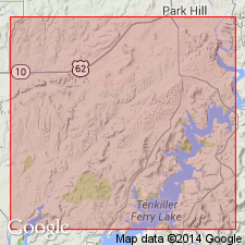
Surface exposures are located in northeastern OK, Muskogee and Cherokee Cos, Chautauqua platform. Consists of dark-green and fissile , to brown, silty shale, locally with brown dolomitic sandstone in lower portion. Thickness is 12-36 ft. Overlies conformably Fernvale limestone and underlies unconformably St. Clair limestone or Chattanooga shale. Age is Late Ordovician, Cincinnati.
Source: GNU records (USGS DDS-6; Denver GNULEX).
- Usage in publication:
-
- Sylvan shale
- Modifications:
-
- Areal extent
- AAPG geologic province:
-
- Permian basin
Summary:
Sylvan shale. In West Texas (Permian basin), exposed at surface in Marathon uplift and southeast Marathon basin. Consists of green, waxy, fissile argillite or brown arenaceous shale, weathers pinkish, 20 to 50 feet thick. Extends, in subsurface, north to Terry and Lynn Counties as greenish-gray shale with disseminated mica and pyrite; contains graptolites. Unconformably overlies Montoya, Simpson, or Ellenburger formations; underlies Silurian rocks. Age is Late Ordovician.
Source: Modified from GNU records (USGS DDS-6; Denver GNULEX).
- Usage in publication:
-
- Sylvan shale
- Modifications:
-
- Areal extent
- AAPG geologic province:
-
- Anadarko basin
Summary:
Extends into subsurface in Anadarko basin, western OK and TX. Average thickness 160 ft. Overlies Viola limestone; underlies Hunton limestone. Age is pre-Carboniferous.
Source: GNU records (USGS DDS-6; Denver GNULEX).
- Usage in publication:
-
- Sylvan Shale
- Modifications:
-
- Biostratigraphic dating
- AAPG geologic province:
-
- South Oklahoma folded belt
Summary:
In Arbuckle Mountains, South Oklahoma folded belt province, Chitinozoans are used to stratigraphically subdivide and correlate the formation. Fauna recognizable in subsurface in west TX and in Maquoketa Formation in IA. Overlies Fernvale Limestone; unconformably overlain by Silurian or Devonian limestones. Age is Late Ordovician.
Source: GNU records (USGS DDS-6; Denver GNULEX).
- Usage in publication:
-
- Sylvan Shale
- Modifications:
-
- Contact revised
- AAPG geologic province:
-
- Arkoma basin
- Chautauqua platform
- South Oklahoma folded belt
Summary:
Lower contact revised in that Sylvan overlies the newly named Welling Formation, a replacement name for rocks formerly called the Fernvale Limestone in eastern OK. Welling is present in east OK in the Arkoma basin, on the Chautauqua platform, and in the S. Oklahoma folded belt province. Correlation chart. Columnar section. Assigned to Richmondian, Late Ordovician.
Source: GNU records (USGS DDS-6; Denver GNULEX).
For more information, please contact Nancy Stamm, Geologic Names Committee Secretary.
Asterisk (*) indicates published by U.S. Geological Survey authors.
"No current usage" (†) implies that a name has been abandoned or has fallen into disuse. Former usage and, if known, replacement name given in parentheses ( ).
Slash (/) indicates name conflicts with nomenclatural guidelines (CSN, 1933; ACSN, 1961, 1970; NACSN, 1983, 2005, 2021). May be explained within brackets ([ ]).