

- Usage in publication:
-
- Sunniland limestone*
- Modifications:
-
- Named
- Dominant lithology:
-
- Limestone
- AAPG geologic province:
-
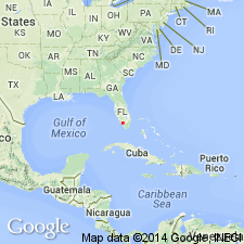
- Florida platform
Summary:
Term "Sunniland," as applied to rock unit, was published by Pressler (1947, American Assoc. Petroleum Geologists Bull., v. 31, no. 10) who referred to "Sunniland zone," "Sunniland limestone," and "the formation." Pressler did not define the unit or describe a type section. Common usage has established name "Sunniland limestone" in geologic nomenclature of FL. Name is here used to designate subsurface unit of middle Trinity (Comanchean) age in southern FL. Composed chiefly of limestone, dolomite, and shale. Overlies the so-called "thick anhydrite" or "lower anhydrite" unit, and underlies so-called "upper anhydrite" unit, both of Trinity age. Thickness 250 to 275 ft in wells in and near Sunniland field. Penetrated in about 60 deep test wells in central and southern FL.
Source: GNU records (USGS DDS-6; Reston GNULEX).
- Usage in publication:
-
- Sunniland Limestone
- Modifications:
-
- Overview
- AAPG geologic province:
-
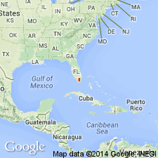
- Florida platform
Summary:
Sunniland Limestone of Ocean Reef Group is divided into lower, middle, and upper transgressive/regressive sediment packages. Formation produces the only oil and gas in southern FL. Sixteen carbonate and two anhydrite lithofacies and described. Underlies Lake Trafford Formation of Ocean Reef Group and overlies Punta Gorda Anhydrite of Glades Group. Age of all three is Early Cretaceous.
Source: GNU records (USGS DDS-6; Reston GNULEX).
- Usage in publication:
-
- Sunniland Formation*
- Modifications:
-
- Overview
- AAPG geologic province:
-
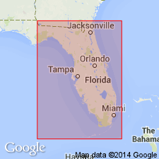
- Florida platform
Summary:
Used as Early Cretaceous Sunniland Formation of Ocean Reef Group following Faulkner and Applegate (1986, Gulf Coast Association of Geological Societies Transactions, v. 36, p. 83-96) and Lloyd (1991, Florida Geological Survey Information Circular 107, p. 1-62).
Source: GNU records (USGS DDS-6; Reston GNULEX).
For more information, please contact Nancy Stamm, Geologic Names Committee Secretary.
Asterisk (*) indicates published by U.S. Geological Survey authors.
"No current usage" (†) implies that a name has been abandoned or has fallen into disuse. Former usage and, if known, replacement name given in parentheses ( ).
Slash (/) indicates name conflicts with nomenclatural guidelines (CSN, 1933; ACSN, 1961, 1970; NACSN, 1983, 2005, 2021). May be explained within brackets ([ ]).