The National Geologic Map Database is migrating to a new infrastructure. We apologize for any service disruptions during this process.
|
|---|


- Usage in publication:
-
- Sunderland formation
- Modifications:
-
- Original reference
- Dominant lithology:
-
- Clay
- Loam
- Sand
- Gravel
- AAPG geologic province:
-
- Atlantic Coast basin
Summary:
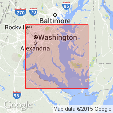
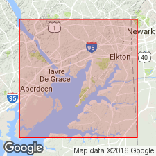
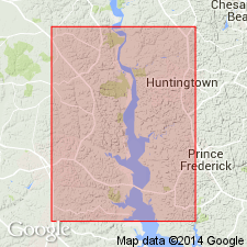
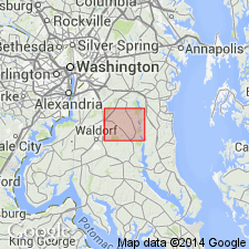
Pg. 73-75. Sunderland formaton of Columbia group. Ice-borne boulders, gravel, sand, and loam, which change their mutual distribution both vertically and horizontally, after manner of shore deposits. They are frequently much altered and decayed and have been derived from formations occurring in immediate vicinity, as well as those found far west in the mountains. In southern Maryland the base of Sunderland terrace lies at about 90 feet, but rises gradually toward northwest, until at Charlotte Hall (Saint Marys County, Maryland) the surface of the bench is at 170 feet. Is next younger than Lafayette formation and unconformably underlies Wicomico formation. Is extensively developed throughout Prince Georges, Charles, Saint Marys, and Calvert Counties, and numerous outliers exist on other parts of western shore from Herring Bay to Elkton, but continuity of formation in this part of Maryland has been destroyed. It is developed as an unmistakable terrane butting up against Piedmont Plateau or lapping around edges of the Lafayette. The scarp line at Charlotte Hall is part of the ancient sea cliff of Sunderland sea. Is basal formation of Columbia group. [Age is Pleistocene.]
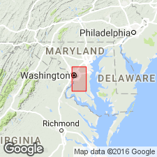
Named from hamlet of Sunderland, on the divide, in [Prince Frederick 15-min quadrangle], Calvert Co., southern MD.
Source: US geologic names lexicon (USGS Bull. 896, p. 2087-2088).
- Usage in publication:
-
- Sunderland formation
- Modifications:
-
- Overview
- AAPG geologic province:
-
- Atlantic Coast basin
Summary:
Unit is a wave-built terrace, composed of clay, loam, sand, and gravel, 0 to 90 ft thick. Base lies at about 90 ft and upper limit at 160 to 180 ft.
Source: GNU records (USGS DDS-6; Reston GNULEX).
- Usage in publication:
-
- Sunderland
- Modifications:
-
- Not used
- AAPG geologic province:
-
- Atlantic Coast basin
Summary:
Sunderland formation is not marine, but consists of two different fluviatile deposits, one deposited by Patuxent River and the other by Potomac River, and the two are not of same age. The hamlet of Sunderland is within the area deposited by Patuxent River, The name Sunderland should be abandoned as a formation name.
Source: GNU records (USGS DDS-6; Reston GNULEX).
- Usage in publication:
-
- Sunderland formation*
- Modifications:
-
- Revised
- AAPG geologic province:
-
- Atlantic Coast basin
Summary:
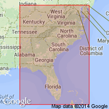
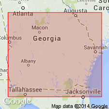
Author proposes to limit Wicomico to 95-ft level, Sunderland to 160-ft level, Coharie to 215-ft level, and Brandywine to 270-ft level. [In a 1932 publication, Cooke fixed elevation of Sunderland at 170 ft.] The terrace formations of Columbia group, including Sunderland, are now recognized by author from DE to southern GA, and probably into FL.
Source: GNU records (USGS DDS-6; Reston GNULEX).
- Usage in publication:
-
- Sunderland formation*
- Modifications:
-
- Overview
- AAPG geologic province:
-
- Atlantic Coast basin
Summary:
Unit is described in Prince Georges Co., MD, and DC. Consists almost entirely of valley fill. Lies unconformably on deposits ranging in age from ancient crystalline rocks to the Pliocene. In northern end of Potomac estuary lies much lower than Brandywine gravel, but at southern end of county lies nearly as high. The Wicomico formation is sunk below base of the Sunderland and is separated from it by a slope exposing older rocks. Thickness about 40 or 50 ft. As here interpreted, formation spans interval between first low-water stage of the Pleistocene and the beginning of the next. Therefore, unit presumably accumulated in the early Pleistocene during first (Nebraskan) glacial stage and first (Aftonian) interglacial stage. As defined in this region, appears to be equivalent to the combined Sunderland and Coharie formations of NC.
Source: GNU records (USGS DDS-6; Reston GNULEX).
- Usage in publication:
-
- Sunderland formation*
- Modifications:
-
- Revised
- AAPG geologic province:
-
- Atlantic Coast basin
Summary:
Problem of separating upland deposits in Coastal Plain into formations is discussed. No basis is found for separating the Sunderland from the Brandywine. Both formations at their type localities are underlain by a littoral deposit, the North Keys sand (new name) of Miocene(?) age. Part of the Sunderland as mapped by earlier workers is here included in North Keys sand.
Source: GNU records (USGS DDS-6; Reston GNULEX).
- Usage in publication:
-
- Sunderland†
- Modifications:
-
- Abandoned
- AAPG geologic province:
-
- Atlantic Coast basin
Summary:
Author states, "Concepts of Silver Bluff, Princess Anne, Pamlico, Talbot, Penholoway, Wicomico, Sunderland, Coharie, and Brandywine Formations are invalid, and these names should be abandoned in the lithostratigraphic sense; most names are retained for marine terraces."
Source: GNU records (USGS DDS-6; Reston GNULEX).
- Usage in publication:
-
- Sunderland
- Modifications:
-
- Not used
- AAPG geologic province:
-
- Atlantic Coast basin
Summary:
Bryn Mawr, Brandywine, and Sunderland gravels here referred to collectively as Upland Gravel (after Cleaves and others, 1968: Geologic map of MD; and Owens, 1969). Was mapped as "Gravel of High Plateau" by Darton (1939). Talbot Formation is retained as a separate unit. On the east side of Elk Neck, deposits of gravel that were formerly mapped as Sunderland are here included in the Pensauken. (Pensauken also includes strata previously mapped as Wicomico.) Author feels that Sunderland deserves a thorough review and that perhaps it should be recognized in some places as a separate unit. [This manuscript was reviewed by the GNU in 1973, but was not published until 1990. There is no record of the Upland Gravel in the GNU files from that review, and it is assumed that this section of manuscript was added or altered post-review. Therefore, the Upland Gravel is not considered formal USGS usage though named in this report.]
Source: GNU records (USGS DDS-6; Reston GNULEX).
For more information, please contact Nancy Stamm, Geologic Names Committee Secretary.
Asterisk (*) indicates published by U.S. Geological Survey authors.
"No current usage" (†) implies that a name has been abandoned or has fallen into disuse. Former usage and, if known, replacement name given in parentheses ( ).
Slash (/) indicates name conflicts with nomenclatural guidelines (CSN, 1933; ACSN, 1961, 1970; NACSN, 1983, 2005, 2021). May be explained within brackets ([ ]).