The National Geologic Map Database is migrating to a new infrastructure. We apologize for any service disruptions during this process.
|
|---|


- Usage in publication:
-
- Sunday Canyon Formation*
- Modifications:
-
- Named
- Biostratigraphic dating
- Dominant lithology:
-
- Siltstone
- Limestone
- Shale
- AAPG geologic province:
-
- Great Basin province
Summary:
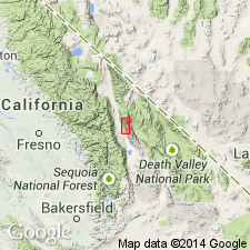
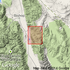
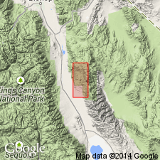
Named for small tributary canyon of Mazourka Canyon 1 mi west of belt of Silurian outcrop. Type section designated along Bonanza Gulch, first east-trending tributary to Mazourka Canyon; base of section is 9000 ft N 58 deg E from NE/4 sec.25 T12S R35E, Independence 15' quad, Inyo Co, CA. Extends in almost continuous band from Water Canyon north to Badger Flat. Contains mixed sequence of calcareous siltstone, calcareous shale, and argillaceous limestone. Is typically thin bedded, dark- to medium-gray, weathering to distinctive light-gray, commonly with yellow and orange tints. Thickness is 683 ft at type section. Grades laterally into Vaughn Gulch Limestone (new). Conformably overlies Ely Springs Dolomite; contact is poorly exposed. Unconformably underlies Perdido Formation. Decided color break generally separates light gray to yellowish calcareous shale here assigned to Silurian from dark-gray red-weathering noncalcareous shale assigned to Mississippian Perdido Formation. Upper contact of Sunday Canyon placed at break between calcareous and noncalcareous shales. Age determined to be late Wenlock or early Ludlow [Silurian] on basis of MONOGRAPTUS (R.J. Ross, Jr., written commun., 1960, 1961).
Source: GNU records (USGS DDS-6; Menlo GNULEX).
- Usage in publication:
-
- Sunday Canyon Formation*
- Modifications:
-
- Areal extent
- AAPG geologic province:
-
- Great Basin province
Summary:
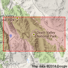
Mapped as small outcrop east of Tinemaha Reservoir in Waucoba Mountain 15' quad, Inyo Co, CA. Described as platy gray to buff limy shale with minor gray limestone interbeds in basal portion grading upward into thin-bedded blue-gray shaly limestone. Unconformably underlies Perdido Formation. In fault contact with Wyman Formation of Precambrian age. Age given as Silurian and Devonian(?).
Source: GNU records (USGS DDS-6; Menlo GNULEX).
- Usage in publication:
-
- Sunday Canyon Formation*
- Modifications:
-
- Age modified
- AAPG geologic province:
-
- Great Basin province
Summary:
Shown on geologic map of Mazourka Canyon area, Independence quad, Inyo Co, CA. Work by Berry (1966) has shown that monograptids considered Devonian are also present in area about 150 ft above base of measured type section of Sunday Canyon Formation. Other collections are Silurian. Thus unit is considered Silurian and Devonian(?) in age.
Source: GNU records (USGS DDS-6; Menlo GNULEX).
- Usage in publication:
-
- Sunday Canyon Formation
- Modifications:
-
- Age modified
- Biostratigraphic dating
- AAPG geologic province:
-
- Great Basin province
Summary:
In central Inyo Mountains Sunday Canyon Formation ranges from Early Devonian to early Middle(?) Devonian age on basis of conodont evidence. Stratigraphic column lists conodont species, location of samples and ages.
Source: GNU records (USGS DDS-6; Menlo GNULEX).
- Usage in publication:
-
- Sunday Canyon Formation*
- Modifications:
-
- Age modified
- AAPG geologic province:
-
- Great Basin province
Summary:
Unit age is Devonian [based on conodonts from lower part of formation (Miller, 1976, GSA Bull., v.87 p.961-968)].
Source: GNU records (USGS DDS-6; Menlo GNULEX).
For more information, please contact Nancy Stamm, Geologic Names Committee Secretary.
Asterisk (*) indicates published by U.S. Geological Survey authors.
"No current usage" (†) implies that a name has been abandoned or has fallen into disuse. Former usage and, if known, replacement name given in parentheses ( ).
Slash (/) indicates name conflicts with nomenclatural guidelines (CSN, 1933; ACSN, 1961, 1970; NACSN, 1983, 2005, 2021). May be explained within brackets ([ ]).