The National Geologic Map Database is migrating to a new infrastructure. We apologize for any service disruptions during this process.
|
|---|


- Usage in publication:
-
- Sunbeam monzonite*
- Modifications:
-
- First used
- Dominant lithology:
-
- Monzonite
- AAPG geologic province:
-
- Great Basin province
Summary:
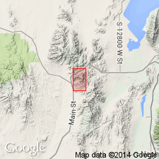
First published use as a map unit. Is in a stock or neck which in its southern part broke across the outer part of a volcanic cone, the center of which can be seen on Volcano Ridge. Occurs as a widespread unit in the southern part of the quad, Juab Co, UT in the Great Basin province, and as a smaller exposure near the east central border of the quad in Utah Co, UT on the Wasatch uplift. Sunbeam mine is in T10S, R2W. Intent to name, source of name [probably the Sunbeam mine in T11S, R2W], and type locality not stated. The monzonite and monzonite porphyry described as porphyritic; groundmass is holocrystalline and granular. Chemical analyses. Geologic map. Shown as Tertiary age, younger [?] than Tintic andesite.
Source: GNU records (USGS DDS-6; Denver GNULEX).
For more information, please contact Nancy Stamm, Geologic Names Committee Secretary.
Asterisk (*) indicates published by U.S. Geological Survey authors.
"No current usage" (†) implies that a name has been abandoned or has fallen into disuse. Former usage and, if known, replacement name given in parentheses ( ).
Slash (/) indicates name conflicts with nomenclatural guidelines (CSN, 1933; ACSN, 1961, 1970; NACSN, 1983, 2005, 2021). May be explained within brackets ([ ]).