

- Usage in publication:
-
- Sulphur Canyon sandstone bed*
- Modifications:
-
- Named
- Dominant lithology:
-
- Sandstone
- AAPG geologic province:
-
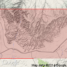
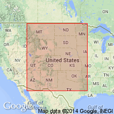
- Paradox basin
Summary:
Named as a bed in the Neslen member (new) of the Price River formation of the Mesaverde group for Sulphur Canyon in T18S. R24E, Grand Co, UT in the Paradox basin. No type locality designated. Traced from Buck Canyon east to Garfield Co, CO. Extent into Piceance basin not clear. Lies about 15 ft above the Thompson Canyon sandstone bed (new) of Neslen. Is 20 to 25 ft thick, massive to medium bedded, ledge-forming, buff to white sandstone. Described in measured section in sec 31, T16S, R26E as a 14 ft buff, medium- to thin-bedded, ledge-forming sandstone that is cross-bedded in lower part. Thought to occupy the same stratigraphic position as the Rollins sandstone in CO. Overlies and underlies unnamed parts of Neslen. Of Late Cretaceous age. Geologic maps.
Source: GNU records (USGS DDS-6; Denver GNULEX).
- Usage in publication:
-
- Sulphur Canyon sandstone member*
- Modifications:
-
- Revised
- AAPG geologic province:
-
- Paradox basin
Summary:
Raised in stratigraphic rank from Sulphur Canyon sandstone bed of Neslen coal-bearing member of Price River formation of Mesaverde group to Sulphur Canyon sandstone member of Neslen formation of Mesaverde group. Shown on correlation chart in central Book Cliffs, UT in the Paradox basin. Of late Campanian and early Maestrichtian, Late Cretaceous age. Correlation chart.
Source: GNU records (USGS DDS-6; Denver GNULEX).
For more information, please contact Nancy Stamm, Geologic Names Committee Secretary.
Asterisk (*) indicates published by U.S. Geological Survey authors.
"No current usage" (†) implies that a name has been abandoned or has fallen into disuse. Former usage and, if known, replacement name given in parentheses ( ).
Slash (/) indicates name conflicts with nomenclatural guidelines (CSN, 1933; ACSN, 1961, 1970; NACSN, 1983, 2005, 2021). May be explained within brackets ([ ]).