- Usage in publication:
-
- Sugarloaf arkose
- Modifications:
-
- Named
- Dominant lithology:
-
- Sandstone
- AAPG geologic province:
-
- Deerfield basin
- New England province
Summary:
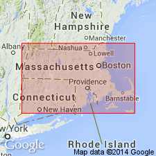
Feldspathic sandstone and conglomerate deposits in the southern half of the Triassic basin in MA are named the Sugarloaf Arkose. Age is Late Triassic.
Source: GNU records (USGS DDS-6; Reston GNULEX).
- Usage in publication:
-
- Sugarloaf arkose*
- Modifications:
-
- Overview
- AAPG geologic province:
-
- New England province
- Deerfield basin
Summary:
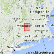
The Sugarloaf Arkose is coarse, bedded and cross-bedded, buff to pale red feldspathic sandstone, pebbly arkose, and fine conglomerate composed of granite debris. It is synchronous with the Mount Toby Conglomerate to the east and grades into Longmeadow Sandstone in central MA. Overlies older crystalline rocks.
Source: GNU records (USGS DDS-6; Reston GNULEX).
- Usage in publication:
-
- Sugarloaf arkose*
- Modifications:
-
- [Principal reference]
- AAPG geologic province:
-
- New England province
- Deerfield basin
Summary:
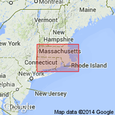
Pg. 91-100. Sugarloaf arkose of Newark group. Coarse buff to pale-red sandstone, which in many places becomes so coarse that it can be called a conglomerate. Made up largely of debris of the granite and coarse pegmatite veins of high ground west or of Amherst-Leverett region on east. In central part of Massachusetts it extends from Connecticut River westward, including the isolated area in Amherst village, and farther south it occupies whole width of plain west of Holyoke Range. All except possibly basal part is synchronous with Mount Toby conglomerate to east. Is basal formation of Newark group to west. Underlies Longmeadow sandstone. Talcott diabase of Connecticut was deposited in early part of Sugarloaf time. [Age is Late Triassic.]
Named from occurrence at Sugarloaf Mountain, [Holyoke quadrangle, Franklin Co., MA].
Source: US geologic names lexicon (USGS Bull. 896, p. 2081).
- Usage in publication:
-
- Sugarloaf formation*
- Modifications:
-
- Revised
- AAPG geologic province:
-
- New England province
- Deerfield basin
Summary:
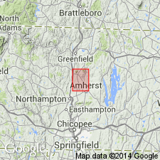
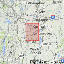
The Sugarloaf Arkose of Emerson is changed to Sugarloaf Formation and revised to include both the arkose and the part of Emerson's Mount Toby Conglomerate that underlies the Deerfield Diabase and is gradational with the arkose.
Source: GNU records (USGS DDS-6; Reston GNULEX).
- Usage in publication:
-
- Sugarloaf Arkose*
- Modifications:
-
- Revised
- AAPG geologic province:
-
- Hartford basin
- New England province
Summary:
Rocks mapped as Sugarloaf Arkose by Emerson (1898) in this area are here assigned to the New Haven Arkose.
Source: GNU records (USGS DDS-6; Reston GNULEX).
- Usage in publication:
-
- Sugarloaf Arkose
- Modifications:
-
- Age modified
- AAPG geologic province:
-
- New England province
- Deerfield basin
Summary:
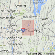
The Sugarloaf Arkose is almost identical to and is continuous with the New Haven Arkose in the Hartford basin, whose age, based on palynomorphs, is late Carnian or early Norian through earliest Jurassic.
Source: GNU records (USGS DDS-6; Reston GNULEX).
- Usage in publication:
-
- Sugarloaf Arkose*
- Modifications:
-
- Revised
- AAPG geologic province:
-
- New England province
- Hartford basin
Summary:
Sedimentary strata in this area originally mapped as Sugarloaf Arkose by Emerson (1917) are here assigned to the Portland Formation.
Source: GNU records (USGS DDS-6; Reston GNULEX).

- Usage in publication:
-
- Sugarloaf Formation*
- Modifications:
-
- Overview
- AAPG geologic province:
-
- New England province
Summary:
Used as Sugarloaf Formation of Late Triassic and Early Jurassic age in Deerfield basin. Upper Triassic component consists of red, pink, and gray, coarse-grained, locally conglomeratic arkose interbedded with brick-red, shaly siltstone and fine-grained arkosic sandstone. Boundary between Upper Triassic and Lower Jurassic parts is drawn arbitrarily through rocks of similar lithology on basis of Lower Jurassic palynofloral zone in gray mudstone immediately below Deerfield Basalt. Upper Triassic part is continuous with and lithically similar to Upper Triassic part of New Haven Arkose in Hartford basin. Lower Jurassic part consists of reddish-brown to pale-red arkose, and gray siltstone, and black shale; interpreted as lake beds. Pale-red conglomerate and arkosic sandstone thickens eastward and is separately mapped.
Source: GNU records (USGS DDS-6; Reston GNULEX).
- Usage in publication:
-
- Sugarloaf Formation*
- Modifications:
-
- Revised
- AAPG geologic province:
-
- Deerfield basin
- New England province
Summary:
Assigned to Newark Supergroup and revised to include all sedimentary strata in the Deerfield basin below the Deerfield Basalt or its projected horizon. The Late Triassic-Early Jurassic boundary is arbitrarily drawn through clastic rocks consisting of coarse-grained, locally conglomeratic arkose interbedded with sandstone and siltstone below a Lower Jurassic palynofloral zone in gray mudstone just below the base of the Deerfield Basalt. The Sugarloaf is continuous with and lithologically similar to the New Haven Arkose in the Hartford basin.
Source: GNU records (USGS DDS-6; Reston GNULEX).
For more information, please contact Nancy Stamm, Geologic Names Committee Secretary.
Asterisk (*) indicates published by U.S. Geological Survey authors.
"No current usage" (†) implies that a name has been abandoned or has fallen into disuse. Former usage and, if known, replacement name given in parentheses ( ).
Slash (/) indicates name conflicts with nomenclatural guidelines (CSN, 1933; ACSN, 1961, 1970; NACSN, 1983, 2005, 2021). May be explained within brackets ([ ]).

