- Usage in publication:
-
- Sugarloaf Mountain quartzite*
- Modifications:
-
- Named
- Dominant lithology:
-
- Quartzite
- AAPG geologic province:
-
- Piedmont-Blue Ridge province
Summary:
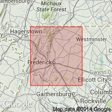
Named the Sugarloaf Mountain quartzite for Sugarloaf Mountain, Frederick Co., western MD. Consists of massive white quartzite about 200 ft thick, which caps Sugarloaf Peak, lower massive quartzite, 100 to 150 ft thick, which makes prominent cliffs and ledges on upper slopes of peak and forms summits of most of the lower peaks and ridges, and thinner bedded quartzites about 150 ft between the two massive ledges. Overlies the Urbana phyllite. The Sugarloaf Mountain is of Early Cambrian(?) age.
Source: GNU records (USGS DDS-6; Reston GNULEX).

- Usage in publication:
-
- Sugarloaf Mountain Quartzite*
- Modifications:
-
- Overview
- AAPG geologic province:
-
- Piedmont-Blue Ridge province
Summary:
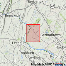
The Sugarloaf Mountain Quartzite consists of medium-bedded to massive, saccaroidal, white quartzite with medium- to coarse-grains of sand cemented by silica and sericite. Contains cross-bedding and some ripples. Unit is correlative to the Lower Cambrian Weverton Formation in the Blue Ridge-South Mountain anticlinorium. The Sugarloaf Mountain is more than 800 ft thick. Underlies the Urbana Formation. The Sugarloaf Mountain is of Early Cambrian(?) age.
Source: GNU records (USGS DDS-6; Reston GNULEX).
For more information, please contact Nancy Stamm, Geologic Names Committee Secretary.
Asterisk (*) indicates published by U.S. Geological Survey authors.
"No current usage" (†) implies that a name has been abandoned or has fallen into disuse. Former usage and, if known, replacement name given in parentheses ( ).
Slash (/) indicates name conflicts with nomenclatural guidelines (CSN, 1933; ACSN, 1961, 1970; NACSN, 1983, 2005, 2021). May be explained within brackets ([ ]).

