

- Usage in publication:
-
- Stuver series
- Modifications:
-
- Named
- Dominant lithology:
-
- Conglomerate
- Quartzite
- AAPG geologic province:
-
- Alaska Northern region
Summary:
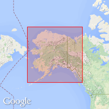
Is oldest group of rocks exposed in northern axis of Endicott Range. Is limited to narrow belt about 5 miles in width, trending northward from Anaktoovuk valley. Primarily consists of hard flinty conglomerate and quartzite, with some slate and shale. Exposed thickness is 2,000 feet. Apparently conformably underlies Lisburne formation (new). Age is regarded as probably pre-Devonian, on basis of stratigraphic relations.
Source: Modified from GNU records (USGS DDS-6; Menlo GNULEX).
- Usage in publication:
-
- Stuver member*
- Modifications:
-
- Adopted
- Revised
- Biostratigraphic dating
- Age modified
- AAPG geologic province:
-
- Alaska Northern region
Summary:
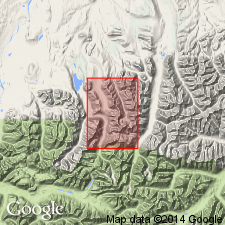
Adopted as upper member of Kanayut conglomerate (new). Overlies unnamed conglomerate member of Kanayut conglomerate. Disconformably underlies Kayak shale. Age is Late Devonian, based on lycopsid fragments and ARCHEOPTERIS in unit.
Type section: measured on ridge about 1.8 mi east of camp on Shainin Lake (Lat. 68 deg. 19 min. N., Long. 150 deg. 33 min. W.), central Brooks Range, northern AK.
Named by Schrader (1902) for Mount Stuver (approx. Lat. 68 deg. 12 min. N., Long. 151 deg. 20 min. W.), east of Anatuvuk River.
Source: Modified from GNU records (USGS DDS-6; Menlo GNULEX).
- Usage in publication:
-
- Stuver Member*
- Modifications:
-
- Revised
- AAPG geologic province:
-
- Alaska Northern region
Summary:
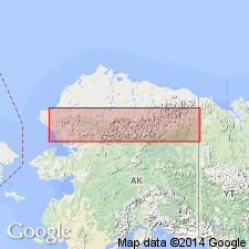
Stuver Member of Kanayut Conglomerate of Bowsher and Dutro (1957) is stratigraphically extended downward to include part of former middle conglomerate member of Kanayut Conglomerate. Extends across most of eastern and central Brooks Range. Remeasured type section is 217.38 m thick. Gradationally overlies Shainin Lake Member or Ear Peak Member (both new) of Kanayut Conglomerate. Plant fossils indicate Late Devonian (late Famennian) age from most of unit; however at one locality species of possible Early Mississippian(?) age have been identified from beds in lower part (S.H. Mamay, written commun., 1979, 1980; Nilsen and others, 1980).
Source: GNU records (USGS DDS-6; Menlo GNULEX).
For more information, please contact Nancy Stamm, Geologic Names Committee Secretary.
Asterisk (*) indicates published by U.S. Geological Survey authors.
"No current usage" (†) implies that a name has been abandoned or has fallen into disuse. Former usage and, if known, replacement name given in parentheses ( ).
Slash (/) indicates name conflicts with nomenclatural guidelines (CSN, 1933; ACSN, 1961, 1970; NACSN, 1983, 2005, 2021). May be explained within brackets ([ ]).