- Usage in publication:
-
- Stump sandstone*
- Modifications:
-
- Named
- Dominant lithology:
-
- Sandstone
- AAPG geologic province:
-
- Wasatch uplift
Summary:
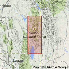
Named for Stump Peak at head of north fork of Stump Creek, about center of T6S, R45E, Caribou Co, ID on the Wasatch uplift. No type locality designated. Consists mainly of thin-bedded gray to greenish-gray, fine-grained sandstone that weathers to platy fragments about 1 in. thick. Is 200 to 600 ft thick. Overlies Preuss sandstone (new); underlies Ephraim conglomerate (new) of Gannett group (new). Is fossiliferous. Assigned to a Jurassic age.
Source: GNU records (USGS DDS-6; Denver GNULEX).

- Usage in publication:
-
- Stump Formation*
- Modifications:
-
- Geochronologic dating
- AAPG geologic province:
-
- Green River basin
Summary:
Pg. 30, geologic time scale (inside front cover). Stump Formation (Late Jurassic). Sandstone sample from Lat. 43 deg. 16 min. 29 sec. N., Long. 110 deg. 31 min. 48 sec. W., Bull Creek quadrangle, Sublette County, Wyoming, yielded a Pb-alpha age of 270 +/-30 Ma (zircon). Ages calculated using decay constants of Steiger and Jager, 1977 (Earth Planet. Sci. Letters, v. 36, p. 359-362). Age is average age of the source rocks [Pennsylvanian to Permian]; not age of Stump Formation.
Source: Publication.

- Usage in publication:
-
- Stump Formation*
- Modifications:
-
- Redescribed
- Revised
- Dominant lithology:
-
- Sandstone
- Siltstone
- AAPG geologic province:
-
- Green River basin
- Snake River basin
- Uinta uplift
- Wasatch uplift
Summary:
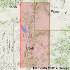
Redescribed from Stump Sandstone to Stump Formation because of the varied lithologic types assigned to it. Divided into Curtis Member (reduced in stratigraphic rank in report area) at base and Redwater Member (newly assigned to Stump) at top. Occurs in southeast ID (Snake River basin), southwest WY (Greater Green River basin), northeast UT (Uinta and Wasatch uplifts), southern Teton Range, WY (Yellowstone province), and northwest CO (Greater Green River basin). Ranges from 28-120 m thick. Redwater less extensive than Curtis. Conformably overlies Preuss Sandstone. Underlies Ephraim Conglomerate unconformably. Assigned a Middle Jurassic (middle Callovian) and Late Jurassic (early to early middle Oxfordian) age. Curtis includes very fine to fine-grained, gray, glauconitic sandstone and gray to olive-green, flaky limey shale, claystone, fossiliferous oolitic limestone. Redwater consists of brown glauconitic fossiliferous siltstone, and ledgy, cliff-forming, gray, glauconitic sandstone. Measured sections. Of marine origin. Areal extent map.
Source: GNU records (USGS DDS-6; Denver GNULEX).

- Usage in publication:
-
- Stump Formation*
- Modifications:
-
- Mapped 1:24k (Moffat Co, CO)
- Dominant lithology:
-
- Shale
- Siltstone
- Limestone
- Sandstone
- AAPG geologic province:
-
- Green River basin
Summary:
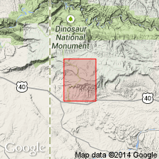
Is Middle and Upper Jurassic formation mapped as two members in southwest Moffat Co, CO (Greater Green River basin). Unconformably overlies Entrada Sandstone (Middle Jurassic); unconformably underlies Morrison Formation (Upper Jurassic). Is comprised of a lower Curtis Member (Middle Jurassic) and an upper Redwater Member (Upper Jurassic); the two members are separated by an unconformity. See detailed remarks under specific members.
Source: GNU records (USGS DDS-6; Denver GNULEX).
For more information, please contact Nancy Stamm, Geologic Names Committee Secretary.
Asterisk (*) indicates published by U.S. Geological Survey authors.
"No current usage" (†) implies that a name has been abandoned or has fallen into disuse. Former usage and, if known, replacement name given in parentheses ( ).
Slash (/) indicates name conflicts with nomenclatural guidelines (CSN, 1933; ACSN, 1961, 1970; NACSN, 1983, 2005, 2021). May be explained within brackets ([ ]).

