

- Usage in publication:
-
- Stroubles formation
- Modifications:
-
- Named
- Dominant lithology:
-
- Shale
- Siltstone
- Sandstone
- AAPG geologic province:
-
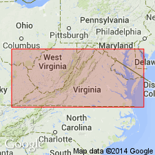
- Appalachian basin
Summary:
Named the Stroubles formation in southwestern VA. Unit is youngest bedrock formation on Saltville thrust block and consists of red shale, siltstone, and sandstone that has been known as Maccrady formation. The red bed sequence in Pulaski-New River area is at least 1,200 feet thick. Name Maccrady is not applicable because red beds of Pulaski-Blacksburg area range up to early Chesterian in age. Overlies Price formation. The Stroubles is of Mississippian age.
Source: GNU records (USGS DDS-6; Reston GNULEX).
For more information, please contact Nancy Stamm, Geologic Names Committee Secretary.
Asterisk (*) indicates published by U.S. Geological Survey authors.
"No current usage" (†) implies that a name has been abandoned or has fallen into disuse. Former usage and, if known, replacement name given in parentheses ( ).
Slash (/) indicates name conflicts with nomenclatural guidelines (CSN, 1933; ACSN, 1961, 1970; NACSN, 1983, 2005, 2021). May be explained within brackets ([ ]).