

- Usage in publication:
-
- Strode sand
- Modifications:
-
- Overview
- AAPG geologic province:
-
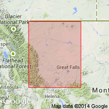
- Sweetgrass arch
Summary:
An informal unit in the lower part of the Ellis group on the Sweetgrass arch of north-central MT. Composed of sandy oolitic limestone. Probably of Middle Jurassic age. [Not identified in local measured sections.]
Source: GNU records (USGS DDS-6; Denver GNULEX).
For more information, please contact Nancy Stamm, Geologic Names Committee Secretary.
Asterisk (*) indicates published by U.S. Geological Survey authors.
"No current usage" (†) implies that a name has been abandoned or has fallen into disuse. Former usage and, if known, replacement name given in parentheses ( ).
Slash (/) indicates name conflicts with nomenclatural guidelines (CSN, 1933; ACSN, 1961, 1970; NACSN, 1983, 2005, 2021). May be explained within brackets ([ ]).