The National Geologic Map Database is migrating to a new infrastructure. We apologize for any service disruptions during this process.
|
|---|


- Usage in publication:
-
- Strelna formation*
- Modifications:
-
- Named
- Biostratigraphic dating
- Dominant lithology:
-
- Tuff
- Basalt
- AAPG geologic province:
-
- Alaska Southern region
Summary:
[Named for occurrence in valley of Strelna Creek, Kotsina-Kuskulana district, Copper River region, southern AK.] Rocks were formerly part of Nikolai greenstone, now separated as Strelna formation, name Nikolai being applied to coarse-grained and generally amygdaloidal lavas overlying Strelna. Is complex of bedded lavas and tuffs intercalated with sedimentary beds and cut by basic intrusive rocks. Consists chiefly of stratified tuff beds and dense fine-grained basalt with minor chert, argillite, shale, and limestone. Thickness is 7000 to 8000 ft, possibly 10,000 ft. Conformably(?) underlies Nikolai greenstone. Is oldest unit in columnar section of district. Poorly preserved fossils indicate Mississippian according to G.H. Girty.
Source: GNU records (USGS DDS-6; Menlo GNULEX).
- Usage in publication:
-
- Strelna formation*
- Modifications:
-
- Areal extent
- AAPG geologic province:
-
- Alaska Southern region
Summary:
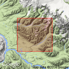
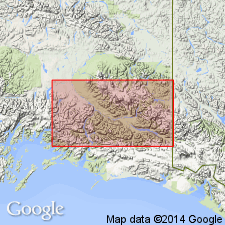
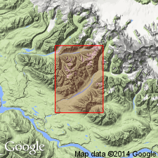
Type locality [designated] as Strelna Creek in Chitina Valley, Copper River plateau [McCarthy quad] southern AK. Unit is geographically extended to north side of Chitina River as far east as mouth of Nizina River and to mountains south of Chitina River as far east as Tana River.
Source: GNU records (USGS DDS-6; Menlo GNULEX).
- Usage in publication:
-
- Strelna Formation†
- Modifications:
-
- Abandoned
- AAPG geologic province:
-
- Alaska Southern region
Summary:
Unit abandoned; its strata in type locality at Strelna Creek assigned to Hasen Creek Formation.
Source: GNU records (USGS DDS-6; Menlo GNULEX).
For more information, please contact Nancy Stamm, Geologic Names Committee Secretary.
Asterisk (*) indicates published by U.S. Geological Survey authors.
"No current usage" (†) implies that a name has been abandoned or has fallen into disuse. Former usage and, if known, replacement name given in parentheses ( ).
Slash (/) indicates name conflicts with nomenclatural guidelines (CSN, 1933; ACSN, 1961, 1970; NACSN, 1983, 2005, 2021). May be explained within brackets ([ ]).