The National Geologic Map Database is migrating to a new infrastructure. We apologize for any service disruptions during this process.
|
|---|


- Usage in publication:
-
- Strawberry volcanics*
- Modifications:
-
- Named
- Dominant lithology:
-
- Volcanics
- AAPG geologic province:
-
- Blue Mountains province
- Columbia basin
Summary:
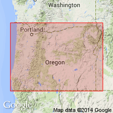
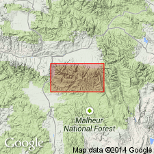
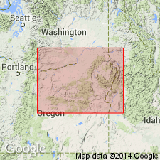
Named for rocks in Strawberry Mountain. Type locality designated as exposures in higher parts of Strawberry Mountain between Indian Creek and John Day faults [Strawberry Mountain 7.5' quad] Grant Co, OR. Includes in lower part Slide Creek member (new) characterized as Columbia River type flows. Upper part consists of pale-gray, fresh basaltic to andesitic hypersthene-bearing lava which is 6500 ft thick on northern slopes of Strawberry Mountain. Lower part consists of thick rhyolite flows and dense platy andesites. Around north and west sides of Unity Basin underlies Ironside formation. Unconformably underlies Rattlesnake formation. Age of upper part believed to be middle and late Miocene and lower part Eocene to early Miocene [based on stratigraphic relations].
Source: GNU records (USGS DDS-6; Menlo GNULEX).
- Usage in publication:
-
- Strawberry Volcanics*
- Modifications:
-
- Revised
- Age modified
- AAPG geologic province:
-
- Blue Mountains province
- Columbia basin
Summary:
Strawberry Volcanics includes Slide Creek Member (olivine basalt flows extending across northern face of Strawberry Mountain) and new member, Wildcat Basin Rhyolite Member (extending southwestward from vent complex in head of Indian Creek just north of Wildcat Basin). Strawberry Volcanics overlies Clarno Formation. Age given as Miocene and Pliocene.
Source: GNU records (USGS DDS-6; Menlo GNULEX).
- Usage in publication:
-
- Strawberry Volcanics*
- Modifications:
-
- Age modified
- Geochronologic dating
- AAPG geologic province:
-
- Blue Mountains province
- Columbia basin
Summary:
Age of Strawberry Volcanics is middle and late Miocene on basis of K-Ar ages ranging [overall] from 20 to about 10 Ma for unit.
Source: GNU records (USGS DDS-6; Menlo GNULEX).
For more information, please contact Nancy Stamm, Geologic Names Committee Secretary.
Asterisk (*) indicates published by U.S. Geological Survey authors.
"No current usage" (†) implies that a name has been abandoned or has fallen into disuse. Former usage and, if known, replacement name given in parentheses ( ).
Slash (/) indicates name conflicts with nomenclatural guidelines (CSN, 1933; ACSN, 1961, 1970; NACSN, 1983, 2005, 2021). May be explained within brackets ([ ]).