The National Geologic Map Database is migrating to a new infrastructure. We apologize for any service disruptions during this process.
|
|---|


- Usage in publication:
-
- Strawberry Creek Formation
- Modifications:
-
- Named
- Dominant lithology:
-
- Argillite
- Siltite
- Quartzite
- AAPG geologic province:
-
- Great Basin region
Summary:
Pg. 297-300. Strawberry Creek Formation. Name proposed for 1 of 6 formations of the McCoy Creek Group (new). Previously included in Prospect Mountain Quartzite (restricted). Consists of quartzites, argillites, and metasiltstones. Described as brown-weathering, olive-drab, gray, quartzose, silty, in part phyllitic, very fine-grained argillites and metasiltstones alternating with thin, light- and medium-gray, rusty-brown weathering, fine-grained quartzite. Some of the impure quartzites are schistose. Quartzite predominates in some sections whereas argillite and metasiltite predominate in other sections. Thickness about 750 feet near head of Strawberry Creek; is a slope-former between two cliff-forming quartzites. Overlies Willard Creek Quartzite (new) of McCoy Creek Group; underlies Shingle Creek Conglomeratic Quartzite (new) of McCoy Creek Group. Age is late Precambrian. Report includes geologic map.
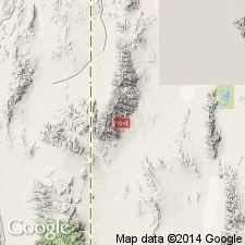
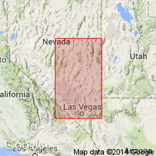
Type area: in vicinity of Strawberry Peak, northern part of southern Snake Range. Where best exposed [= type locality] on north side of upper Strawberry and upper Willard Creeks where its rocks are altered by contact metamorphism. Named from Strawberry Creek, southern Snake Range, White Pine Co., northeastern NV (Great Basin region).
Source: US geologic names lexicon (USGS Bull. 1350, p. 729); GNU records (USGS DDS-6; Denver GNULEX).
- Usage in publication:
-
- Strawberry Creek Formation*
- Modifications:
-
- Age modified
- AAPG geologic province:
-
- Great Basin province
Summary:
Age of the Strawberry Creek Formation is Precambrian Z.
Source: GNU records (USGS DDS-6; Menlo GNULEX).
For more information, please contact Nancy Stamm, Geologic Names Committee Secretary.
Asterisk (*) indicates published by U.S. Geological Survey authors.
"No current usage" (†) implies that a name has been abandoned or has fallen into disuse. Former usage and, if known, replacement name given in parentheses ( ).
Slash (/) indicates name conflicts with nomenclatural guidelines (CSN, 1933; ACSN, 1961, 1970; NACSN, 1983, 2005, 2021). May be explained within brackets ([ ]).