The National Geologic Map Database is migrating to a new infrastructure. We apologize for any service disruptions during this process.
|
|---|


- Usage in publication:
-
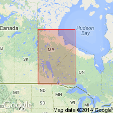
- Stonewall formation
- Modifications:
-
- Revised
- AAPG geologic province:
-
- Williston basin
Summary:
Upper contact revised in that the upper 0-25 ft thick dolostone formerly assigned to the Stonewall is removed from it and named Ashern formation. Ashern is separated from the Silurian Stonewall by an erosional unconformity. Report area lies in Lake Manitoba area, Manitoba, CN in the Williston basin.
Source: GNU records (USGS DDS-6; Denver GNULEX).
- Usage in publication:
-
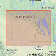
- Stonewall formation
- Modifications:
-
- Revised
- AAPG geologic province:
-
- Williston basin
Summary:
Assigned to Bighorn group as uppermost member in Williston basin. Ross (1957) included Stonewall in his Stony Mountain formation. Bighorn now consists of (ascending) Red River, Stony Mountain, and Stonewall formations. Cross sections; table of nomenclature. Isopach map of combined Stonewall and Gunton member of Stony Mountain. All of unit arbitrarily assigned Late Ordovician age; fauna dated at type as Late Ordovician by Stearn (1953, GSA Bull., v. 64, p. 1477-78; 1956, Geol. Survey, Canada, Mem. 281), taken from lower part of Stonewall as upper part not exposed. Prior to Stearn, unit considered Silurian.
Source: GNU records (USGS DDS-6; Denver GNULEX).
For more information, please contact Nancy Stamm, Geologic Names Committee Secretary.
Asterisk (*) indicates published by U.S. Geological Survey authors.
"No current usage" (†) implies that a name has been abandoned or has fallen into disuse. Former usage and, if known, replacement name given in parentheses ( ).
Slash (/) indicates name conflicts with nomenclatural guidelines (CSN, 1933; ACSN, 1961, 1970; NACSN, 1983, 2005, 2021). May be explained within brackets ([ ]).