

- Usage in publication:
-
- Stoneville Formation
- Modifications:
-
- Named
- Dominant lithology:
-
- Conglomerate
- Sandstone
- Siltstone
- AAPG geologic province:
-
- Piedmont-Blue Ridge province
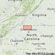
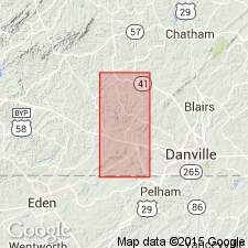
- Dan River-Danville basin
Summary:
The Stoneville Formation of the Dan River Group is here named for intertonguing red, brown, greenish-gray, and gray conglomerate, sandstone, and siltstone facies that gradationally overlie and intertongue with the Cow Branch Formation along the northwest margin of the Dan River basin, NC. Correlations are drawn between the siltstone facies and the Cascade Station Member of the Leakesville Formation of Meyertons (1963); the sandstone facies and the Dry Fork Formation of Meyertons (1963); and the conglomerate facies and the Cedar Forest Formation of Meyertons (1963). Thickness at type section is 377 ft (113 m). Age is Late Triassic.
Source: GNU records (USGS DDS-6; Reston GNULEX).
- Usage in publication:
-
- Stoneville Formation
- Modifications:
-
- Revised
- Areal extent
- AAPG geologic province:
-
- Piedmont-Blue Ridge province
- Dan River-Danville basin
Summary:
In the southwestern part of the Brosville quad., Danville basin, VA, Triassic rocks are divided into the Pine Hall, Cow Branch, and Stoneville Formations. The Stoneville is here extended from the Dan River basin, NC, to the Danville basin, VA. The Cow Branch forms the reference beds for this division of rocks. Where it is absent there is no basis for distinguishing more than a single unit, the equivalent Dry Fork Formation.
Source: GNU records (USGS DDS-6; Reston GNULEX).
- Usage in publication:
-
- Stoneville Formation*
- Modifications:
-
- Biostratigraphic dating
- AAPG geologic province:
-
- Piedmont-Blue Ridge province
Summary:
A new palynomorph species, FROELICHSPORITES TRAVERSEI, occurs throughout Newark Supergroup of eastern United States and Canada, Dockum Group of TX and NM, and Chinle Formation of NM, AZ, and UT. It is restricted geologically to strata deposited during upper Carnian and Norian Stages of the Upper Triassic. It occurs in the following formations of the Newark Supergroup: Passaic Formation (NJ), Gettysburg Formation (PA and MD), Manassas Sandstone (MD), Balls Bluff Siltstone (VA), Cow Branch Formation (NC), and Stoneville Formation (NC).
Source: GNU records (USGS DDS-6; Reston GNULEX).
For more information, please contact Nancy Stamm, Geologic Names Committee Secretary.
Asterisk (*) indicates published by U.S. Geological Survey authors.
"No current usage" (†) implies that a name has been abandoned or has fallen into disuse. Former usage and, if known, replacement name given in parentheses ( ).
Slash (/) indicates name conflicts with nomenclatural guidelines (CSN, 1933; ACSN, 1961, 1970; NACSN, 1983, 2005, 2021). May be explained within brackets ([ ]).