- Usage in publication:
-
- Stonefort limestone member
- Modifications:
-
- Original reference
- Dominant lithology:
-
- Limestone
- AAPG geologic province:
-
- Illinois basin
Summary:
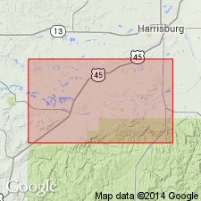
Pg. 70-71. Stonefort limestone member of Tradewater formation. A fossiliferous limestone, 2 to 3 feet thick, lying 100+/- feet below No. 2 coal (at base of Carbondale formation), and 50+/- feet above Bald Knob coal, in Saline and Williamson Counties, southeastern Illinois, and probably extending into Kentucky. Fossils listed. Age is Pennsylvanian.
Named from exposures near Stonefort P.O. and station, Saline Co., southeastern IL.
Source: US geologic names lexicon (USGS Bull. 896, p. 2069).
- Usage in publication:
-
- Stonefort limestone
- Modifications:
-
- Revised
- AAPG geologic province:
-
- Illinois basin
Summary:
Unit raised in rank to Stonefort limestone in Tradewater group. Described as persistent bed 1 to 2 ft thick that is medium gray, weathers brownish, and is sparingly fossiliferous. Occurs in midst of succession of thin beds including several coals. A thin limestone without marine fossils occurs locally a few ft above the Stonefort, which is the first marine horizon above Curlew limestone. Included in Stonefort cyclothem.
Source: GNU records (USGS DDS-6; Reston GNULEX).
- Usage in publication:
-
- Stonefort limestone member
- Modifications:
-
- Revised
- AAPG geologic province:
-
- Illinois basin
Summary:
Stonefort included in Spoon formation (new). Overlies Wise Ridge coal member; underlies Davis coal member. Type locality corrected.
Source: GNU records (USGS DDS-6; Reston GNULEX).
- Usage in publication:
-
- Stonefort Limestone Member*
- Modifications:
-
- Areal extent
- AAPG geologic province:
-
- Illinois basin
Summary:
Stonefort Limestone Member of Tradewater Formation extended into KY.
Source: GNU records (USGS DDS-6; Reston GNULEX).
- Usage in publication:
-
- Stonefort Limestone Member
- Modifications:
-
- Areal extent
Summary:
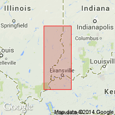
Stonefort Limestone Member of Spoon Formation occurs widely in southern and southeastern IL. Well developed from eastern Gallatin Co. through southwestern Wabash Co. Reappears in central Lawrence Co. and continues to southern Crawford Co. Correlates with Silverwood Limestone Member of Staunton Formation (IN) and with Beulah Limestone Member of Tradewater Formation (KY).
Source: GNU records (USGS DDS-6; Reston GNULEX).
- Usage in publication:
-
- Stonefort Limestone Member
- Modifications:
-
- Overview
- AAPG geologic province:
-
- Illinois basin
Summary:
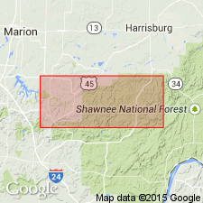
Stonefort is here considered the most widely traceable and useful subsurface marker unit below the Davis Coal in southern IL. Thickness varies from a few inches to just under 2 ft. Described as medium to dark brownish gray, shaly, and fine grained with scattered coarse fossil fragments and whole fossils, including brachiopods, pelecypods, gastropods, rugose corals, and crinoid fragments. Typically forms a single bed or two beds separated by a shale parting. Separated from the overlying Carrier Mills Shale Member (new) by 5 to 15 ft of soft shale or claystone. Separated from the underlying Wise Ridge Coal Bed by 3 to 10 ft of clay-shale. Age is early middle Desmoinesian (Douglass, 1987).
Source: GNU records (USGS DDS-6; Reston GNULEX).
For more information, please contact Nancy Stamm, Geologic Names Committee Secretary.
Asterisk (*) indicates published by U.S. Geological Survey authors.
"No current usage" (†) implies that a name has been abandoned or has fallen into disuse. Former usage and, if known, replacement name given in parentheses ( ).
Slash (/) indicates name conflicts with nomenclatural guidelines (CSN, 1933; ACSN, 1961, 1970; NACSN, 1983, 2005, 2021). May be explained within brackets ([ ]).

