- Usage in publication:
-
- Stone Corral dolomite*
- Modifications:
-
- Areal extent
- AAPG geologic province:
-
- Anadarko basin
- Las Animas arch
- Las Vegas-Raton basin
Summary:
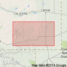
Extended into the subsurface of Otero County, Colorado, on the Las Animas arch, Las Animas County, Colorado, in the Las Vegas-Raton basin, and Baca County, Colorado, in the Anadarko basin. Is 20 to 40 feet of buff, finely crystalline dolomite, and white granular anhydrite with interbedded maroon shale that is continuous and provides reliable correlation. Correlated into upper part of Fountain formation. Age is Permian. Report includes correlation chart.
Source: Modified from GNU records (USGS DDS-6; Denver GNULEX).
For more information, please contact Nancy Stamm, Geologic Names Committee Secretary.
Asterisk (*) indicates published by U.S. Geological Survey authors.
"No current usage" (†) implies that a name has been abandoned or has fallen into disuse. Former usage and, if known, replacement name given in parentheses ( ).
Slash (/) indicates name conflicts with nomenclatural guidelines (CSN, 1933; ACSN, 1961, 1970; NACSN, 1983, 2005, 2021). May be explained within brackets ([ ]).

