

- Usage in publication:
-
- Stockton Gap Formation
- Modifications:
-
- Named
- Dominant lithology:
-
- Conglomerate
- Sandstone
- AAPG geologic province:
-
- Permian basin
Summary:
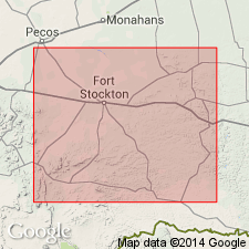
Name applied to a conglomerate that is part of a large channel complex previously assigned to the Wolfcamp and to the Hess Formations. Type locality is just west of State hwy 51 at Gap Tank, Pecos Co, TX in the Permian basin. Divided into: basal member of red-brown weathering chert and limestone pebble conglomerate; a middle member of gray to brown, fine- to medium-grained, cross-bedded, platy sandstone; and an upper member of gray-weathering limestone pebble conglomerate with few chert pebbles. The lower member has abundant limestone cobbles from underlying Neal Ranch and Gaptank Formations; it ranges between 70 and 80 ft thick. The middle member is probably less than 100 ft thick. The upper member is the most persistent of the three; it is known to range between 58 and 135 ft thick. Underlies the newly named Brooks Ranch Formation. Geologic map. Cross section. Isopach map. Composite measured section [locations not given] of upper member described as a coarse conglomerate with a limestone matrix at base overlain by limestone cobbles in a shaly matrix that total 90 ft thick. Assigned a Wolfcampian, Early Permian age.
Source: GNU records (USGS DDS-6; Denver GNULEX).
For more information, please contact Nancy Stamm, Geologic Names Committee Secretary.
Asterisk (*) indicates published by U.S. Geological Survey authors.
"No current usage" (†) implies that a name has been abandoned or has fallen into disuse. Former usage and, if known, replacement name given in parentheses ( ).
Slash (/) indicates name conflicts with nomenclatural guidelines (CSN, 1933; ACSN, 1961, 1970; NACSN, 1983, 2005, 2021). May be explained within brackets ([ ]).