

- Usage in publication:
-
- Stewartville dolomite
- Modifications:
-
- Overview
- AAPG geologic province:
-
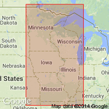
- Sioux uplift
Summary:
Pg. 25-27. Stewartville dolomite. Porous soft yellowish dolomite and mottle magnesium limestone (Maclurea bed) containing the MACLURINA MANITOBENSIS fauna, 0 to 100 feet thick; underlain by 0 to 20 feet of unfossiliferous sandy mudstone. Overlies Prosser limestone. Is top formation of Trenton group.
Source: US geologic names lexicon (USGS Bull. 896, p. 2063).

- Usage in publication:
-
- Stewartville dolomite*
- Modifications:
-
- Named
- Dominant lithology:
-
- Dolomite
- AAPG geologic province:
-
- Sioux uplift
Summary:
Plate. 27. Stewartville dolomite (Maclurea bed). Unconformably overlies Prosser limestone and unconformably underlies Wykoff limestone. Is equivalent to upper part of Galena dolomite.
Named for Stewartville, Olmstead County, Minnesota.
Source: US geologic names lexicon (USGS Bull. 896, p. 2063); GNU records (USGS DDS-6; Reston GNULEX).
- Usage in publication:
-
- Stewartville division
- Modifications:
-
- Areal extent
- AAPG geologic province:
-
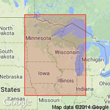
- Wisconsin arch
Summary:
Pg. 27. Stewartville division of Galena dolomite can be seen in Jo Daviess County, Illinois.
Source: US geologic names lexicon (USGS Bull. 896, p. 2063).
- Usage in publication:
-
- Stewartville Formation
- Modifications:
-
- Revised
- AAPG geologic province:
-
- Sioux uplift
Summary:
Stewartville Formation of Galena Group. Stewartville Member of Wise Lake Formation is revised to Stewartville Formation in Minnesota; includes (ascending) Sinsinawa Member and Rifle Hill Member (new). Is restricted from Illinois and Iowa; replaced with Rifle Hill Member of Wise Lake Formation. Age is Late Ordovician (Edenian). Report includes correlation chart, cross sections, graphic section. [See also entry under Rifle Hill.]
Source: Modified from GNU records (USGS DDS-6; Reston GNULEX, Denver GNULEX).
For more information, please contact Nancy Stamm, Geologic Names Committee Secretary.
Asterisk (*) indicates published by U.S. Geological Survey authors.
"No current usage" (†) implies that a name has been abandoned or has fallen into disuse. Former usage and, if known, replacement name given in parentheses ( ).
Slash (/) indicates name conflicts with nomenclatural guidelines (CSN, 1933; ACSN, 1961, 1970; NACSN, 1983, 2005, 2021). May be explained within brackets ([ ]).