- Usage in publication:
-
- Steussy shale member
- Modifications:
-
- Principal reference
- AAPG geologic province:
-
- Fort Worth syncline
Summary:
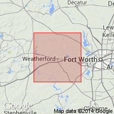
Pg. 16-17, pl. Steussy shale member of Lazy Bend formation. Defined as those beds occurring between Meek Bend limestone bed of Hill Creek member and lower Brannon Bridge limestone member. Total thickness 180 feet. Lower 90 feet of shale are overlain by 40 feet of sandstone. Upper 30 feet are intermittently exposed along Steussy scarp below capping Brannon Bridge limestone. Age is Pennsylvanian. Type section designated.
Origin of name Steussy not clear in original description. Upper part of shale is exposed on scarp northwest of Rocky Creek west of Brazos River. This feature is called Steussy Scarp in original reference, giving the impression that the geological name is after topographic feature bearing that name. Type section: exposures on west side of hill (located on southeast side of Rocky Creek) and in cuts of ranch road crossing Steussy Scarp to north, Parker Co., north-central TX. Rocky Creek flows from southwest into Brazos River just north of Lazy Bend.
Source: US geologic names lexicon (USGS Bull. 1200, p. 3720-3721).
For more information, please contact Nancy Stamm, Geologic Names Committee Secretary.
Asterisk (*) indicates published by U.S. Geological Survey authors.
"No current usage" (†) implies that a name has been abandoned or has fallen into disuse. Former usage and, if known, replacement name given in parentheses ( ).
Slash (/) indicates name conflicts with nomenclatural guidelines (CSN, 1933; ACSN, 1961, 1970; NACSN, 1983, 2005, 2021). May be explained within brackets ([ ]).

