- Usage in publication:
-
- Sterling Station iron ore
- Modifications:
-
- Named
- Dominant lithology:
-
- Limestone
- AAPG geologic province:
-
- Appalachian basin
Summary:
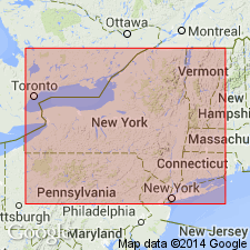
Name introduced for 4-in seam of ore 8 ft above principal ore bed (Furnaceville) at Sterling Station in Cayuga Co., central NY. Appears in several wells, but not known to outcrop elsewhere. Underlies true Sodus shale. Age is Silurian.
Source: GNU records (USGS DDS-6; Reston GNULEX).

- Usage in publication:
-
- Sterling Station ore
- Modifications:
-
- Revised
- AAPG geologic province:
-
- Appalachian basin
Summary:
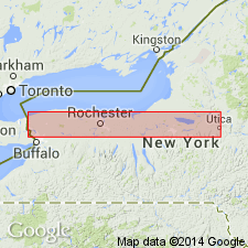
Sterling Station ore placed in lower part of Sodus shale. Thin limestone separates it from underlying Bear Creek shale. [This is also the position assigned to this ore by W. Goldring (1931: New York State Museum Handbook 10).]
Source: GNU records (USGS DDS-6; Reston GNULEX).

- Usage in publication:
-
- Sterling Station iron ore
- Modifications:
-
- Revised
- Overview
- AAPG geologic province:
-
- Appalachian basin
Summary:
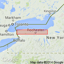
Sterling Station described as a remarkably persistent hematitic limestone horizon occurring at the top of the Reynales on Salmon Creek and in Wolcott core and, in the upper part of Bear Creek shale to the east. Author objects, however, to considering unit as a formation because of its thinness and the fact that it occurs as stringers imbedded in uppermost part of the underlying formation and not as a distinct unit in itself.
Source: GNU records (USGS DDS-6; Reston GNULEX).

- Usage in publication:
-
- Sterling Station Bed
- Modifications:
-
- Revised
- AAPG geologic province:
-
- Appalachian basin
Summary:
Unit treated formally as Sterling Station Bed, a thin oolitic hematite. Caps the Reynales Limestone to the west and the Bear Creek Shale to the east, both of the Clinton Group. Underlies the Sodus Shale. Age is Silurian.
Source: GNU records (USGS DDS-6; Reston GNULEX).
For more information, please contact Nancy Stamm, Geologic Names Committee Secretary.
Asterisk (*) indicates published by U.S. Geological Survey authors.
"No current usage" (†) implies that a name has been abandoned or has fallen into disuse. Former usage and, if known, replacement name given in parentheses ( ).
Slash (/) indicates name conflicts with nomenclatural guidelines (CSN, 1933; ACSN, 1961, 1970; NACSN, 1983, 2005, 2021). May be explained within brackets ([ ]).

