- Usage in publication:
-
- Stepovak series
- Modifications:
-
- Named
- Dominant lithology:
-
- Shale
- Sandstone
- Breccia
- Tuff
- AAPG geologic province:
-
- Alaska Peninsula province
- Alaska Southwestern region
Summary:
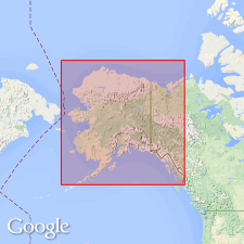
[Named] for marine sedimentary deposits occupying most of area studied about Chichagof Cove, Stepovak Bay, Alaska Peninsula, AK. Upper beds are soft shales, sandstones, and grits with some thin beds of limestone and some chert bands. Lower part consists of coarse breccias or agglomerates and fine tuffs of igneous material. Is folded and faulted. Contains abundant early Eocene fossils. Age is Eocene.
Source: GNU records (USGS DDS-6; Menlo GNULEX).

- Usage in publication:
-
- Stepovak Formation
- Modifications:
-
- Revised
- Age modified
- AAPG geologic province:
-
- Alaska Peninsula province
- Alaska Southwestern region
Summary:
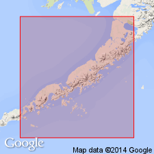
Correlation chart shows Stepovak Formation is upper formation of Beaver Bay Group (new). Overlies Tolstoi Formation (lower formation in Beaver Bay Group). Unconformably underlies Bear Lake Formation. Is approximately 15,000 feet thick in Port Moller-Unga Island area and 10,000 feet thick in Mount Veniaminof area. Consists of interbedded volcanic sandstone and conglomerate with much black siltstone and locally abundant calcareous concretions. Shown on geologic maps of Alaska Peninsula. Where difficult to distinguish lithologically from older Tolstoi Formation, both units are mapped together as Beaver Bay Group. Unit contains rich fauna of middle Oligocene marine invertebrates. Microfossils indicate latest Eocene and early Oligocene ages.
Source: Modified from GNU records (USGS DDS-6; Menlo GNULEX).

- Usage in publication:
-
- Stepovak Formation*
- Modifications:
-
- Adopted
- Reference
- AAPG geologic province:
-
- Alaska Peninsula province
- Alaska Southwestern region
Summary:
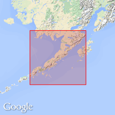
Stepovak Formation of Burk (1965) is adopted. However unit is excluded from Burk's Beaver Bay Group. Divided into informal members: (lower) siltstone (1023 m thick) and (upper) sandstone (1004 m thick). Occurs in southwestern end of Alaska Peninsula from Pavlof Bay to about Chignik. Intertongues with Meshik Volcanics between Stepovak Bay and Chignik. Overlies with disconformity Tolstoi Formation. Underlies Unga Formation with disconformity also. K-Ar ages of 36 to 32 Ma (Wilson, 1985; DuBois and others, 1987) and data from megafauna indicate age is late Eocene and early Oligocene.
Reference section: exposures in sec. 12, 13, and 24, T. 52 S., R. 71 W., Port Moller C-1 quadrangle (scale 1:63,360), Alaska Peninsula, southwestern AK.
Source: GNU records (USGS DDS-6; Menlo GNULEX).
For more information, please contact Nancy Stamm, Geologic Names Committee Secretary.
Asterisk (*) indicates published by U.S. Geological Survey authors.
"No current usage" (†) implies that a name has been abandoned or has fallen into disuse. Former usage and, if known, replacement name given in parentheses ( ).
Slash (/) indicates name conflicts with nomenclatural guidelines (CSN, 1933; ACSN, 1961, 1970; NACSN, 1983, 2005, 2021). May be explained within brackets ([ ]).

