

- Usage in publication:
-
- Steamboat Mountain Formation*
- Modifications:
-
- First used
- Dominant lithology:
-
- Tuff
- AAPG geologic province:
-
- Great Basin province
Summary:
No type section given. Described as a gray to reddish-purple rhyolite "unit" that consists of 60 to 65 percent glass, 20 percent crystals of quartz, 2 to 5 percent plagioclase, and 5 to 15 percent K-feldspar. Called a rhyolite vitric-crystal tuff. Known in the Great Basin province. Age not given. [Term taken by authors from an unpublished report. Description in this report is adequate for a new name.]
Source: GNU records (USGS DDS-6; Denver GNULEX).
- Usage in publication:
-
- Steamboat Mountain Formation*
- Modifications:
-
- Overview
- Geochronologic dating
- Dominant lithology:
-
- Tuff
- Rhyolite
- Lava
- AAPG geologic province:
-
- Great Basin province
Summary:
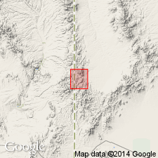
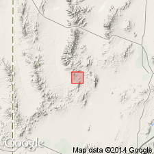
Adopted. Type section designated in this report lies 4 km east of Steamboat Mountain, north of Typhoid Spring, Bible Spring quad, Beaver Co, UT in Great Basin province, where rhyolitic tuffs and overlying topaz rhyolite lava flows of Steamboat Mountain are about 500 m thick. Rhyolitic tuffs are chiefly weakly consolidated ash-flow tuffs. Local air-fall, base-surge, and water-reworked tuff also present. Most lava flows are light gray, moderately porphyritic to purple gray and strongly flow layered. Lava flows have radiogenic 40[superscript]Ar ages of 11.9 +/-0.5 to 13.8 +/-1.5 m.y. Assigned to the middle Miocene. Is younger and more restricted than Blawn Formation (new). Occurs chiefly at southern end of Pine Valley and north of Modena, UT. Stratigraphic chart.
Source: GNU records (USGS DDS-6; Denver GNULEX).
For more information, please contact Nancy Stamm, Geologic Names Committee Secretary.
Asterisk (*) indicates published by U.S. Geological Survey authors.
"No current usage" (†) implies that a name has been abandoned or has fallen into disuse. Former usage and, if known, replacement name given in parentheses ( ).
Slash (/) indicates name conflicts with nomenclatural guidelines (CSN, 1933; ACSN, 1961, 1970; NACSN, 1983, 2005, 2021). May be explained within brackets ([ ]).