

- Usage in publication:
-
- Statenville Formation
- Modifications:
-
- Named
- Dominant lithology:
-
- Sand
- Clay
- Dolostone
- AAPG geologic province:
-
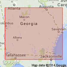
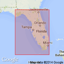
- South GA-North FL sedimentary province
Summary:
Statenville Formation is here named for exposures near the village of Statenville in south-central GA and is assigned to the Hawthorne Group as the uppermost formation in that area. Originally mapped as part of the Alum Bluff (here restricted from GA) by Veatch and Stephenson (1911). Unit is prominently planar and trough cross-bedded, dolomitic, exceptionally phosphatic, argillaceous sand with scattered beds or lenses of clay and dolostone. Quartz sand is fine to coarse grained, well-to poorly sorted. Known to occur in Echols and Clinch Cos., GA, and in the upper Suwannee River area of FL. In the type area, overlies unnamed dolostone, clay, and sand of the Hawthorne Group; disconformably underlies the Miccosukee Formation. Correlates lithologically with the Tybee Phosphorite Member (new name) of the Coosawhatchie Formation. Only 12 ft (3.5 m) exposed at Statenville, though earlier 28.8 ft (9 m) were reported by Brooks (1966). In reference core Betty 1 at Jennings, Hamilton Co., FL, 76 ft (23 m) present. Age is middle Miocene (early late Barstovian, early Serravallian) based on presence of land mammal fauna (13 m.y.) and correlation with Berryville Clay Member, which occupies same stratigraphic position in eastern GA.
Source: GNU records (USGS DDS-6; Reston GNULEX).
- Usage in publication:
-
- Statenville Formation
- Modifications:
-
- Principal reference
- AAPG geologic province:
-
- South GA-North FL sedimentary province
Summary:
A FL reference section is designated for the Statenville Formation in core Betty #1, W-15121, Hamilton Co. (NE/4NW1/4 sec. 3, T2N, R12E) between the surface and 87 ft (26 m). This core provides the only complete section available. Unit overlies and interfingers with the Coosawhatchie Formation. Occurs near the ground surface throughout most of its occurrence, but may be overlain by undifferentiated post Hawthorn deposits near its eastern limit. Unit appears equivalent to the upper part of the Coosawhatchie Formation and is also correlative with part of the Intracoastal Formation in the FL panhandle and part of the Peace River Formation (new name) in southern FL. Age is late middle Miocene according to Huddlestun (1988). The reworked zone at the top of the Statenville section appears to be late Miocene based on vertebrate fossils (Cathcart, 1985, personal commun).
Source: GNU records (USGS DDS-6; Reston GNULEX).
- Usage in publication:
-
- Statenville Formation
- Modifications:
-
- Biostratigraphic dating
- AAPG geologic province:
-
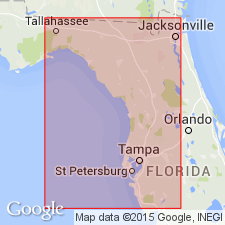
- Florida platform
Summary:
Late Barstovian land mammal faunas occur in the Statenville at the type locality in GA and in the Occidental Phosphate Mine in Hamilton Co., northernmost FL. The late Barstovian Roaring Creek Local Fauna were derived from the lower unit of the Statenville. The Occidental Fauna occur in the upper Statenville and are early Clarendonian in age (late middle Miocene, late Serravallian, 11.5-10.5 Ma). The Statenville correlates with the lower part of the Bone Valley Formation of the southern peninsula.
Source: GNU records (USGS DDS-6; Reston GNULEX).
For more information, please contact Nancy Stamm, Geologic Names Committee Secretary.
Asterisk (*) indicates published by U.S. Geological Survey authors.
"No current usage" (†) implies that a name has been abandoned or has fallen into disuse. Former usage and, if known, replacement name given in parentheses ( ).
Slash (/) indicates name conflicts with nomenclatural guidelines (CSN, 1933; ACSN, 1961, 1970; NACSN, 1983, 2005, 2021). May be explained within brackets ([ ]).