- Usage in publication:
-
- State Line serpentine
- Modifications:
-
- First used
- Dominant lithology:
-
- Serpentinite
- AAPG geologic province:
-
- Piedmont-Blue Ridge province
Summary:
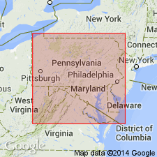
State line serpentine named for fact it occurs fully 16 mi along boundary between PA and MD. Is later than Glenarm series.
Source: GNU records (USGS DDS-6; Reston GNULEX).

- Usage in publication:
-
- State-Line complex
- Modifications:
-
- Overview
- AAPG geologic province:
-
- Piedmont-Blue Ridge province
Summary:
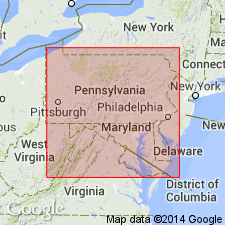
State-Line complex is a layered mafic intrusion, and considered part of the Baltimore mafic complex. Basal, northern portion is a serpentinite with relict peridotite. According to Higgins and Conant (1986), this serpentinite is separated from the rest of the State-Line complex by a thrust fault, but no fault was found by current authors. Middle portion of the complex is gabbroic. Upper portion is a quartz gabbro to diorite. Unit is here interpreted as an intrusion into the Peters Creek Formation, rather than an ophiolite as suggested by other workers. Is probably a sill similar to the Palisades sill of the Newark rift basin. Nd/Sm date of 490 Ma from Shaw and Wasserburg (1984: American Journal of Science, v. 284, p. 319-349.)
Source: GNU records (USGS DDS-6; Reston GNULEX).
For more information, please contact Nancy Stamm, Geologic Names Committee Secretary.
Asterisk (*) indicates published by U.S. Geological Survey authors.
"No current usage" (†) implies that a name has been abandoned or has fallen into disuse. Former usage and, if known, replacement name given in parentheses ( ).
Slash (/) indicates name conflicts with nomenclatural guidelines (CSN, 1933; ACSN, 1961, 1970; NACSN, 1983, 2005, 2021). May be explained within brackets ([ ]).

