The National Geologic Map Database is migrating to a new infrastructure. We apologize for any service disruptions during this process.
|
|---|


- Usage in publication:
-
- Starr conglomerate*
- Modifications:
-
- Original reference
- Dominant lithology:
-
- Conglomerate
- AAPG geologic province:
-
- Appalachian basin
Summary:
Pg. 2. Starr conglomerate in text (Starrs conglomerate on map). Conglomerate, usually quite coarse and containing many large feldspar pebbles. Thickness 0 to 660 feet. Is middle member of Sandsuck shale. Age is Early Cambrian.
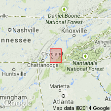
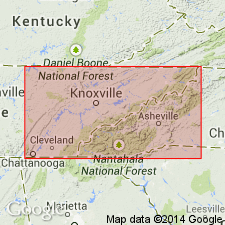
Named from exposures near Starr Mountain, Monroe Co., southeastern TN.
Source: US geologic names lexicon (USGS Bull. 896, p. 2055).
- Usage in publication:
-
- Starr conglomerate†
- Modifications:
-
- Abandoned
- AAPG geologic province:
-
- Appalachian basin
Summary:
Pg. 29. Starr conglomerate is a synonym of Cochran conglomerate and should be abandoned.
Source: US geologic names lexicon (USGS Bull. 1200, p. 3711).
For more information, please contact Nancy Stamm, Geologic Names Committee Secretary.
Asterisk (*) indicates published by U.S. Geological Survey authors.
"No current usage" (†) implies that a name has been abandoned or has fallen into disuse. Former usage and, if known, replacement name given in parentheses ( ).
Slash (/) indicates name conflicts with nomenclatural guidelines (CSN, 1933; ACSN, 1961, 1970; NACSN, 1983, 2005, 2021). May be explained within brackets ([ ]).