The National Geologic Map Database is migrating to a new infrastructure. We apologize for any service disruptions during this process.
|
|---|


- Usage in publication:
-
- Star Peak group*
- Modifications:
-
- Original reference
- Dominant lithology:
-
- Quartzite
- Limestone
- Slate
- AAPG geologic province:
-
- Great Basin province
Summary:
Map 5 (Nevada Basin) and 1878 (U.S. Geol. Expl. 40th Parallel, v. 1, p. 267-278, 544). Star Peak group. Upper 10,000 feet of Triassic section in West Humboldt Range. In descending order: (1) Pure quartzite, 2200 to 2800 feet; (2) limestone, 1000+/- feet; (3) pure thinly bedded quartzite, 800 to 1000 feet; (4) heavy ferruginous limestones, 2000 feet; (5) black slates, 250 feet; (6) slaty quartzite, 1250 feet; dark carbonaceous limestone 1500 feet. Rests conformably on Koipato group.
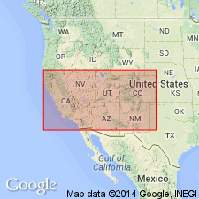
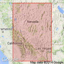
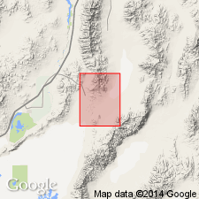
Named for development at Star Peak Mtn., northwestern and northern NV.
Source: US geologic names lexicon (USGS Bull. 896, p. 2055).
- Usage in publication:
-
- Star Peak formation*
- Modifications:
-
- Overview
- AAPG geologic province:
-
- Great Basin province
Summary:
[Preprint 1939, pg. 369 373 (fig. 2)]. Overlies Weaver rhyolite. [Age is] Middle Triassic.
Source: US geologic names lexicon (USGS Bull. 1200, p. 3710).
- Usage in publication:
-
- Star Peak group*
- Modifications:
-
- Revised
- AAPG geologic province:
-
- Great Basin province
Summary:
Rank raised to group. Includes Prida formation below and Natchez Pass formation. Overlies Weaver rhyolite of Koipato group with angular unconformity. Underlies Grass Valley formation, possible disconformity. [Age is Middle and Late Triassic.]
Source: US geologic names lexicon (USGS Bull. 1200, p. 3710).
For more information, please contact Nancy Stamm, Geologic Names Committee Secretary.
Asterisk (*) indicates published by U.S. Geological Survey authors.
"No current usage" (†) implies that a name has been abandoned or has fallen into disuse. Former usage and, if known, replacement name given in parentheses ( ).
Slash (/) indicates name conflicts with nomenclatural guidelines (CSN, 1933; ACSN, 1961, 1970; NACSN, 1983, 2005, 2021). May be explained within brackets ([ ]).