

- Usage in publication:
-
- St. Wendell sandstone
- Modifications:
-
- Original reference
- AAPG geologic province:
-
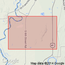
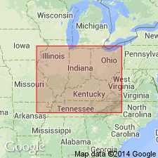
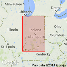
- Illinois basin
Summary:
St. Wendell sandstone. See entry under Parker formation.
Source: US geologic names lexicon (USGS Bull. 896, p. 1887).

- Usage in publication:
-
- St. Wendells formation
- Modifications:
-
- Overview
- AAPG geologic province:
-
- Illinois basin
Summary:
Gave a table in which he showed (but did not define the units) the following subdivisions of the Wabash in Indiana (downward): New Haven formation, Buffkin formation, Grayville formation, McClearys Bluff formation, Friendsville formation, St. Wendells formation, and Parker formation; and also showed Wabash as resting on Merom sandstone.
Source: US geologic names lexicon (USGS Bull. 896, p. 1887).
- Usage in publication:
-
- St. Wendells formation
- Modifications:
-
- Areal extent
- AAPG geologic province:
-
- Illinois basin
Summary:
Pg. 103. St. Wendells formation. A division of post-Allehenian, between Friendsville above and Parker formation. Exposures noted.
Source: US geologic names lexicon (USGS Bull. 1200, p. 3402).
- Usage in publication:
-
- St. Wendells sandstone
- Modifications:
-
- Revised
- AAPG geologic province:
-
- Illinois basin
Summary:
Pg. 14 (fig. 4). Chart shows St. Wendells sandstone underlying New Haven formation and overlying Parkers formation.
Source: US geologic names lexicon (USGS Bull. 1200, p. 3402).

- Usage in publication:
-
- St. Wendell formation
- St. Wendell sandstone
- Modifications:
-
- Overview
- AAPG geologic province:
-
- Illinois basin
Summary:
Fidlar appears to have applied this name to the same unit Culbertson (1932) called Claypole Hills sandstone. Culbertson's St. Wendells limestone appears to have been included in the Parker formation by Fidlar.
Source: US geologic names lexicon (USGS Bull. 1200, p. 3402).
For more information, please contact Nancy Stamm, Geologic Names Committee Secretary.
Asterisk (*) indicates published by U.S. Geological Survey authors.
"No current usage" (†) implies that a name has been abandoned or has fallen into disuse. Former usage and, if known, replacement name given in parentheses ( ).
Slash (/) indicates name conflicts with nomenclatural guidelines (CSN, 1933; ACSN, 1961, 1970; NACSN, 1983, 2005, 2021). May be explained within brackets ([ ]).