

- Usage in publication:
-
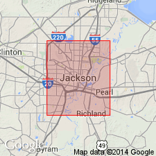
- St. Stephens group
- Modifications:
-
- Original reference
- AAPG geologic province:
-
- Mid-Gulf Coast basin
Summary:
Pg. 257-258. St. Stephens group. [This report lists "groups of characteristic fossils" from "Newer Eocene" and "Older Eocene" of Mississippi. The upper two fossils groups (8 and 7) are designated Vicksburg group. Of fossil No. 6 author says: "PECTEN POULSONI, ORBITOLITES MANTELLI. Is probably synchronous with Orbitolite limestone of St. Stephens, Alabama, as its two most prominent fossils are very abundant in this stratum at Vicksburg. Convenient to designate this St. Stephens group." Of fossil group No. 5, which he makes basal group of his "Newer Eocene," he says: "OSTREA GEORGIANA(?). Lowest bed exposed in bank of Mississippi River at Vicksburg." The limestone is more fully described in Alabama Geol. Survey Rpt on Coastal Plain, p. 107-122, 1894.]
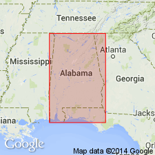
[Named from exposures in bluff at St. Stephens, Washington Co., southern AL.]
Source: US geologic names lexicon (USGS Bull. 896, p. 1886).
- Usage in publication:
-
- St. Stephens (White limestone)
- Modifications:
-
- Revised
- AAPG geologic province:
-
- Mid-Gulf Coast basin
Summary:
Defined St. Stephens (White limestone) as including Vicksburg and Jackson, as consisting of 150 feet of soft white limestone underlain by 50 feet of argillaceous limestones containing ZEUGLODON bones, and as overlying Claiborne group and underlying Grand Gulf formation. In subsequent reports (58th Cong., 1st sess., S. Ex. Doc. 19, 1903, p. 12-20; USGS Bull. 225, 1904, p. 434-447; USGS Bull. 243, 1905, p. 71-81) he divided St. Stephens limestone or white limestone into (descending): (1) Upper or Salt Mountain division, (2) middle or St. Stephens division, and (3) lower or Jackson division. [Age is late Eocene and Oligocene.]
Source: US geologic names lexicon (USGS Bull. 896, p. 1886).
- Usage in publication:
-
- St. Stephens group
- Modifications:
-
- Revised
- AAPG geologic province:
-
- Mid-Gulf Coast basin
Summary:
St. Stephens group. Consists of (descending): (1) Coral or Salt Mountain limestone, hard white limestone, 150 feet thick, exposed at Salt Mountain, Clarke County, Alabama; (2) Vicksburg formation, hard crystalline to soft white pulverulent limestone, 140+/- feet thick; and (3) Jackson formation, soft impure limestone with thin strata of harder limestone and thin beds of clay, 60 to 1,200 feet thick. Overlies Gosport greensand and underlies Catahoula formation. [Age is late Eocene and Oligocene.]
Source: US geologic names lexicon (USGS Bull. 896, p. 1886).

- Usage in publication:
-
- St. Stephens division†
- St. Stephens formation†
- St. Stephens group†
- St. Stephens limestone†
- Modifications:
-
- Abandoned
- AAPG geologic province:
-
- Mid-Gulf Coast basin
Summary:
The rocks in southwestern Alabama (the type region) to which St. Stephens has been applied are now [ca. 1938] divided into (descending) Vicksburg group and Jackson formation.
Vicksburg group (descending): Byram marl 0 to 35 feet; Glendon formation 0 to 100 feet; Marianna limestone 0 to 90+/- feet; Red Bluff clay 0 to 40 feet.
Jackson formation (descending): Yazoo clay member, 16 to 65 feet; Cocoa sand member, 6 to 70 feet; calcaerous clay, 30 to 50 feet; PERIARCHUS-bearing bed, 1 to 10 feet.
Source: US geologic names lexicon (USGS Bull. 896, p. 1886).
For more information, please contact Nancy Stamm, Geologic Names Committee Secretary.
Asterisk (*) indicates published by U.S. Geological Survey authors.
"No current usage" (†) implies that a name has been abandoned or has fallen into disuse. Former usage and, if known, replacement name given in parentheses ( ).
Slash (/) indicates name conflicts with nomenclatural guidelines (CSN, 1933; ACSN, 1961, 1970; NACSN, 1983, 2005, 2021). May be explained within brackets ([ ]).