- Usage in publication:
-
- St. George formation
- Modifications:
-
- Original reference
- Dominant lithology:
-
- Sandstone
- Shale
- AAPG geologic province:
-
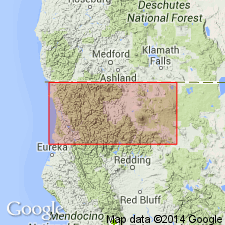
- Klamath Mountains province
Summary:
Pg. 135 and map. St. George formation. Northeasterly dipping marine formation of sandstones and shales carrying abundant invertebrate fauna. Thickness exposed near Point St. George, on west of Del Norte County, northwestern California, somewhat under 100 feet, but is presumably considerably thicker. Lies unconformably on Dothan formation (Jurassic) and is nonconformably overlain by Battery formation (Pleistocene). Age is Pliocene(?).
Source: US geologic names lexicon (USGS Bull. 896, p. 1876).
For more information, please contact Nancy Stamm, Geologic Names Committee Secretary.
Asterisk (*) indicates published by U.S. Geological Survey authors.
"No current usage" (†) implies that a name has been abandoned or has fallen into disuse. Former usage and, if known, replacement name given in parentheses ( ).
Slash (/) indicates name conflicts with nomenclatural guidelines (CSN, 1933; ACSN, 1961, 1970; NACSN, 1983, 2005, 2021). May be explained within brackets ([ ]).

