

- Usage in publication:
-
- St. Francois Mountains Volcanic Supergroup
- Modifications:
-
- First used
- Dominant lithology:
-
- Rhyolite
- Tuff
- AAPG geologic province:
-
- Midcontinent region
Summary:
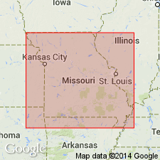
Name adopted by Missouri Geological Survey for an assemblage of Precambrian volcanic rocks in St. Francois Mountains (presumably for which unit is named) located in southeast MO, Midcontinent region. Generalized column (p. 2 of volume) shows unit to include rhyolitic ash-flow tuffs, lava flows and bedded tuffs. [Constituent formations and groups of supergroup not specified; unit presumably includes formations defined by Berry, Jr., this volume, p. 81-90. Berry's proposed units include, from oldest to youngest, Shepherd Mountain, Cedar Bluff, and Pond Ridge Rhyolites; Buck Mountain Shut-ins Formation; Ironton, Lindsey Mountain, Russell Mountain, Wildcat Mountain, Bell Mountain, Royal Gorge and Taum Sauk Rhyolites; Proffit Mountain Formation; Johnson Shut-ins Rhyolite; and Cope Hollow Formation]. Older than St. Francois Mountains Intrusive Suite (first used). [Same geographic names should not be used for different units]. Oldest Precambrian unit in study area. Precambrian Y [Middle Proterozoic] age.
Source: GNU records (USGS DDS-6; Denver GNULEX).
- Usage in publication:
-
- St. Francois Mountains Volcanic Supergroup
- Modifications:
-
- Revised
- AAPG geologic province:
-
- Midcontinent region
Summary:
/St. Francois Mountains Volcanic Supergroup [not to be confused with /St. Francois Mountains Intrusive Suite]. Includes (ascending) /Butler Hill Group (revised) and /Taum Sauk Group (new). Study area is St. Francois Mountains, southeast Missouri (Midcontinent region). Younger than Grassy Mountain Ignimbrite (revised) of Butler Hill; older than Shepherd Mountain Rhyolite (revised) of /Taum Sauk Group (new) of St. Francois Mountains Volcanic Supergroup. Age is Precambrian Y. Nomenclature listed in table 1.
[Conflicts with nomenclature guidelines (ACSN, 1970; NACSN, 1983, 2005, 2021): name St. Francois Mountains applied concurrently to two different units in same area; a [supergroup] name combines a geographic name with the term ["supergroup,"] and no lithic designation is included; name Butler Hill applied concurrently to two different units in same area; preempted by Butler Hill Granite of Tolman and Robertson (1969); name Taum Sauk used for both group and formation within it (Taum Sauk Rhyolite has priority).]
Source: Modified from GNU records (USGS DDS-6; Denver GNULEX).
- Usage in publication:
-
- St. Francois granite-rhyolite terrane*
- Modifications:
-
- Areal extent
- Geochronologic dating
- Overview
- AAPG geologic province:
-
- Midcontinent region
Summary:
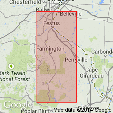
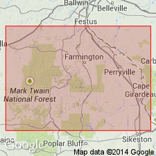
Exposed in a 900-km2 region in St. Francois Mountains, at crest of Ozark dome in southeast MO, Midcontinent region. Includes St. Francois Mountains Volcanic Supergroup and St. Francois Mountains Intrusive Suite. [The same name should not be used for different units.] Though its boundaries are not well defined, data from more than 500 drillholes indicate that terrane underlies most of southeast MO having an inferred areal extent of at least 100,000 km2. U/Pb ages on zircons by other workers date age of crystallization of terrane at 1.48 Ga, but terrane includes younger (1.38 Ga) plutons. Consists of more than a dozen overlapping ring complexes, cauldron subsidence structures with ring volcanoes and ring plutons, and resurgent calderas with central plutons. Volcanic rocks of terrane are mainly rhyolite ash-flow tuffs; as much as 1700 m are preserved locally. Granitic rocks of terrane consist of subvolcanic granite massifs, ring intrusions, and central plutons. St. Francois formed as part of an extensional tectonic regime within or near the margin of the Proterozoic North American continent.
Source: GNU records (USGS DDS-6; Denver GNULEX).
For more information, please contact Nancy Stamm, Geologic Names Committee Secretary.
Asterisk (*) indicates published by U.S. Geological Survey authors.
"No current usage" (†) implies that a name has been abandoned or has fallen into disuse. Former usage and, if known, replacement name given in parentheses ( ).
Slash (/) indicates name conflicts with nomenclatural guidelines (CSN, 1933; ACSN, 1961, 1970; NACSN, 1983, 2005, 2021). May be explained within brackets ([ ]).