

- Usage in publication:
-
- St. Elizabeth formation
- Modifications:
-
- Named
- Dominant lithology:
-
- Sandstone
- Quartzite
- Dolomite
- Shale
- AAPG geologic province:
-
- Ozark uplift
Summary:
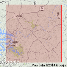
Named for typical exposures in town of St. Elizabeth, Miller Co, MO, Ozark uplift. Widely distributed north and south of Osage River within mapped area. Forms flat-topped and broad ridges and gentle slopes. Consists of dolomite, sandstone, chert, quartzite, and shale; is 50-75 percent dolomite except in eastern part of county, where unit is composed of 60 percent sandstone (newly named Bolin Creek sandstone member) and chert. Dolomite is typically very hard, fine grained and dense; texture and conchoidal fracturing is very similar to chert; weathers to smooth rounded surface; occasional sandy streaks; cherty, mainly in lower part. Chert is grayish white, yellow or black, very porous and usually brecciated; chert in upper part of unit is honeycombed; chert beds are up to 40 ft thick. Thickness is variable ranging from 70-160 ft; averages 120 ft north of Osage River and 100 ft south of river. Overlies Gasconade limestone, with possible slight erosional unconformity in places; conformably underlies Jefferson City formation. Several measured sections. Fossiliferous with fossils (not identified) occurring mainly in chert beds. Contains some lead and zinc ores which are best developed near Gasconade contact; hematites are present and are generally associated with Bolin Creek. Assigned undifferentiated Cambrian and Ordovician age.
Source: GNU records (USGS DDS-6; Denver GNULEX).
- Usage in publication:
-
- St. Elizabeth formation
- Modifications:
-
- Not used
Summary:
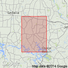
Not used in Morgan Co, MO, Ozark uplift. Roubidoux formation used in place of St. Elizabeth. Author states that Roubidoux "was first described by Ball and Smith [1903] under the name of the St. Elizabeth."
Source: GNU records (USGS DDS-6; Denver GNULEX).
For more information, please contact Nancy Stamm, Geologic Names Committee Secretary.
Asterisk (*) indicates published by U.S. Geological Survey authors.
"No current usage" (†) implies that a name has been abandoned or has fallen into disuse. Former usage and, if known, replacement name given in parentheses ( ).
Slash (/) indicates name conflicts with nomenclatural guidelines (CSN, 1933; ACSN, 1961, 1970; NACSN, 1983, 2005, 2021). May be explained within brackets ([ ]).