- Usage in publication:
-
- St. Clair limestone
- Modifications:
-
- Named
- Dominant lithology:
-
- Limestone
- AAPG geologic province:
-
- Arkoma basin
Summary:
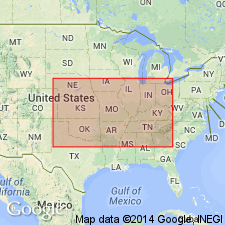
Named the St. Clair limestone in northern AR and central eastern OK for St. Clair Springs, Independence Co., AR. Consists of highly crystalline, granular, light-gray, pink, chocolate brown, or purplish-black, fossiliferous limestone. Contains nodules and layers of oxides of manganese and is source of manganese ores. Thickness is 0 to more than 150 feet. Overlies Izard limestone and underlies the Sylamore sandstone or Boone chert. The St. Clair is of Silurian age.
Source: GNU records (USGS DDS-6; Reston GNULEX).

- Usage in publication:
-
- St. Clair Limestone Member*
- Modifications:
-
- Revised
- Overview
- AAPG geologic province:
-
- Upper Mississippi embayment
- Illinois basin
Summary:
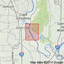
Following usage of Thompson (1993) in MO, St. Clair is reduced in rank to St. Clair Limestone Member of Bainbridge Formation in MO and IL (previously used as St. Clair Formation of Bainbridge Group by Illinois Geological Survey). Mapped undivided with Moccasin Springs Member and Seventy-Six Shale Member (not noted during mapping but possibly present). Consists of gray, fine- to medium-grained, locally silty, noncherty limestone. Characteristically contains abundant iron-stained red fossil fragments. Partings of blue-green clay or mudstone are common. Age is Silurian (Niagaran).
Source: GNU records (USGS DDS-6; Reston GNULEX).
For more information, please contact Nancy Stamm, Geologic Names Committee Secretary.
Asterisk (*) indicates published by U.S. Geological Survey authors.
"No current usage" (†) implies that a name has been abandoned or has fallen into disuse. Former usage and, if known, replacement name given in parentheses ( ).
Slash (/) indicates name conflicts with nomenclatural guidelines (CSN, 1933; ACSN, 1961, 1970; NACSN, 1983, 2005, 2021). May be explained within brackets ([ ]).

