

- Usage in publication:
-
- Spry Intrusion
- Modifications:
-
- Named
- Geochronologic dating
- Dominant lithology:
-
- Porphyry
- AAPG geologic province:
-
- Paradox basin
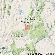
Summary:
Named (p. 1200) for one-time crossroads community of Spry near which it is located, in Garfield Co., UT in Paradox basin. Also called Spry stock locally. No type locality designated. Crops out over an area in excess of 20 sq mi. Ranges from monzonite to dacite porphyry. Is of middle Oligocene age. Has a K-Ar age of 30.4 +/-1.5 m.y. on hornblende. Formed a topographic high against which ignimbrites that were deposited before the Bear Valley Formation lapped and on which no deposition of Bear Valley took place. Is probably a laccolith.
Source: GNU records (USGS DDS-6; Denver GNULEX).
For more information, please contact Nancy Stamm, Geologic Names Committee Secretary.
Asterisk (*) indicates published by U.S. Geological Survey authors.
"No current usage" (†) implies that a name has been abandoned or has fallen into disuse. Former usage and, if known, replacement name given in parentheses ( ).
Slash (/) indicates name conflicts with nomenclatural guidelines (CSN, 1933; ACSN, 1961, 1970; NACSN, 1983, 2005, 2021). May be explained within brackets ([ ]).