The National Geologic Map Database is migrating to a new infrastructure. We apologize for any service disruptions during this process.
|
|---|


- Usage in publication:
-
- Spring Brook shale member
- Modifications:
-
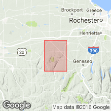
- Areal extent
- Dominant lithology:
-
- Shale
- Limestone
- AAPG geologic province:
-
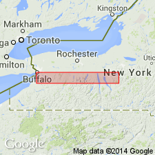
- Appalachian basin
Summary:
Name Spring Brook shale member of Ludlowville formation credited to G.A. Cooper (unpub. thesis). Unit described as shale and impure limestone. Thickness about 20 ft. Overlies Ledyard shale member and underlies Eighteenmile Creek member. Cooper (1930) includes strata of both Spring Brook and Eighteenmile Creek in Wanakah shale member. Age is Middle Devonian.
Source: GNU records (USGS DDS-6; Reston GNULEX).
- Usage in publication:
-
- Spring Brook Submember
- Modifications:
-
- Revised
- AAPG geologic province:
-
- Appalachian basin
Summary:
Spring Brook and Eighteenmile Creek Members of Ludlowville Formation reduced in rank in this report to submembers of Wanakah Member of Ludlowville Formation in keeping with nomenclature presented here for Ledyard Member of Ludlowville. Spring Brook overlies Mt. Vernon bed of Pond Spring interval of Elma Submember of Ledyard Member.
["Submember" not recognized as a formal stratigraphic rank term (CSN, 1933; ACSN, 1961, 1970; NACSN, 1983, 2005). Considered informal until formally published. The rank or lithologic term should not be capitalized.]
Source: GNU records (USGS DDS-6; Reston GNULEX).
For more information, please contact Nancy Stamm, Geologic Names Committee Secretary.
Asterisk (*) indicates published by U.S. Geological Survey authors.
"No current usage" (†) implies that a name has been abandoned or has fallen into disuse. Former usage and, if known, replacement name given in parentheses ( ).
Slash (/) indicates name conflicts with nomenclatural guidelines (CSN, 1933; ACSN, 1961, 1970; NACSN, 1983, 2005, 2021). May be explained within brackets ([ ]).