The National Geologic Map Database is migrating to a new infrastructure. We apologize for any service disruptions during this process.
|
|---|


- Usage in publication:
-
- Spragueville Formation*
- Modifications:
-
- Original reference
- Dominant lithology:
-
- Siltstone
- Limestone
- AAPG geologic province:
-
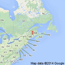
- New England province
Summary:
Pg. A55-A57. Spragueville Formation. Consists chiefly of gray to pale-olive-green calcareous siltstone and silty limestone. Estimated thickness about 4,000 feet. Conformably overlies Carys Mills [Formation] (new) gradationally and underlies Perham Formation in Presque Isle region. Was termed upper member, nubbly limestone, of Aroostook Limestone by White (1943, USGS Bull. 940-E). Aroostook Limestone herein abandoned. Age is Silurian.
Type locality: exposures near community of Spragueville, Aroostook Co., northeastern ME.
Source: US geologic names lexicon (USGS Bull. 1350, p. 715).
For more information, please contact Nancy Stamm, Geologic Names Committee Secretary.
Asterisk (*) indicates published by U.S. Geological Survey authors.
"No current usage" (†) implies that a name has been abandoned or has fallen into disuse. Former usage and, if known, replacement name given in parentheses ( ).
Slash (/) indicates name conflicts with nomenclatural guidelines (CSN, 1933; ACSN, 1961, 1970; NACSN, 1983, 2005, 2021). May be explained within brackets ([ ]).