The National Geologic Map Database is migrating to a new infrastructure. We apologize for any service disruptions during this process.
|
|---|


- Usage in publication:
-
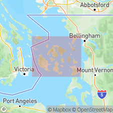
- Spieden formation
- Modifications:
-
- Named
- Biostratigraphic dating
- Dominant lithology:
-
- Conglomerate
- AAPG geologic province:
-
- Puget Sound province
Summary:
Named for Spieden Island for exposures on Spieden Island, Sentinel Island, and Sentinel Rock. No type given. Composed of conglomerate (85%), breccia, sandstone, shale, and argillaceous limestone. On Spieden Island, shale, sandstone, and fossiliferous argillaceous limestone overlain by conglomerate and breccia; at least 2000 ft thick. On Sentinel Island 800 ft of conglomerate. Assigned to Early Cretaceous by Stanton based on mollusks, equal to upper Knoxville formation (CA); AUCELLA CRASSICOLLIS most abundant. Correlated with Pasayten formation in Hozomeen Range, north-central WA.
Source: GNU records (USGS DDS-6; Menlo GNULEX).
- Usage in publication:
-
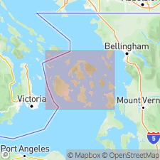
- Spieden Formation
- Modifications:
-
- Age modified
- Biostratigraphic dating
- AAPG geologic province:
-
- Puget Sound province
Summary:
Age of Spieden Formation changed from Early Cretaceous to Early Cretaceous and Late Jurassic on basis of fossils including Late Jurassic (Oxfordian) BUCHIA CONCENTRICA; Early Cretaceous (Valanginian) BUCHIA CRASSICOLLIS, and Early Cretaceous (Hauterivian) INOCERMUS sp. Samples from Spieden Island.
Source: GNU records (USGS DDS-6; Menlo GNULEX).
- Usage in publication:
-
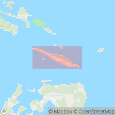
- Spieden Group
- Modifications:
-
- Revised
- Biostratigraphic dating
- Geochronologic dating
- AAPG geologic province:
-
- Puget Sound province
Summary:
Spieden Formation (McLellan, 1927) elevated to Spieden Group based on recognition of two disconformable units of different ages. Consists of the Spieden Bluff Formation disconformable over Sentinel Island Formation. Composite type section (both formations): along northwest and southwest coast of Spieden Island and west coast of Sentinel Island; about 800 m thick. Group crops out only on these two islands. Chiefly conglomerate and breccia with some sandstone and shale. Base and top not exposed. Probably subaerial and shallow marine deposition in volcanic terrain. Group assigned to Late Jurassic and Early Cretaceous; Late Jurassic mollusks and K-Ar age from Spieden Bluff Formation and Early Cretaceous mollusks from lower part of Sentinel Island.
Source: GNU records (USGS DDS-6; Menlo GNULEX).
- Usage in publication:
-
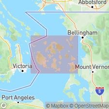
- Spieden Group*
- Modifications:
-
- Geochronologic dating
- AAPG geologic province:
-
- Puget Sound province
Summary:
Sample 25 on dacite clast and sample 26 on granodiorite clast gave fission-track ages from Spieden Group of 147 +/-16 Ma to 138 +/-15 Ma.
Source: GNU records (USGS DDS-6; Menlo GNULEX).
For more information, please contact Nancy Stamm, Geologic Names Committee Secretary.
Asterisk (*) indicates published by U.S. Geological Survey authors.
"No current usage" (†) implies that a name has been abandoned or has fallen into disuse. Former usage and, if known, replacement name given in parentheses ( ).
Slash (/) indicates name conflicts with nomenclatural guidelines (CSN, 1933; ACSN, 1961, 1970; NACSN, 1983, 2005, 2021). May be explained within brackets ([ ]).