- Usage in publication:
-
- Spider Mountain schist
- Modifications:
-
- Named
- Dominant lithology:
-
- Schist
- AAPG geologic province:
-
- Cascades province
Summary:
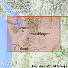
Area of investigation consists of three southeast-trending structural belts south of Cascade Pass, Northern Cascade Mountains, WA. Central belt includes Cascade River schist (new), LeConte gneiss (new), Magic Mountain gneiss (new) and Spider Mountain schist (new). Spider Mountain schist consists of low-grade schist and calcareous mica schist and is, on basis of lithology and structural position, correlative with Cascade River schist. Crops out as synclinal erosional remnants overlying Magic Mountain gneiss. [age not given]
Source: GNU records (USGS DDS-6; Menlo GNULEX).
For more information, please contact Nancy Stamm, Geologic Names Committee Secretary.
Asterisk (*) indicates published by U.S. Geological Survey authors.
"No current usage" (†) implies that a name has been abandoned or has fallen into disuse. Former usage and, if known, replacement name given in parentheses ( ).
Slash (/) indicates name conflicts with nomenclatural guidelines (CSN, 1933; ACSN, 1961, 1970; NACSN, 1983, 2005, 2021). May be explained within brackets ([ ]).

