

- Usage in publication:
-
- Spider Lake Formation
- Modifications:
-
- Named
- Dominant lithology:
-
- Volcanics
- Pyroclastics
- AAPG geologic province:
-
- New England province
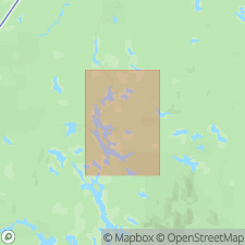
Summary:
Spider Lake Formation here named in Piscataquis Co., north-central ME. Consists of andesitic volcanic flows and pyroclastic rocks with dacite and sedimentary rocks. Thickness 3,200 m. Unconformably overlies Bluffer Pond, Blind Brook, and Munsungun Lake Formations. Age is Late Silurian and Early Devonian.
Source: GNU records (USGS DDS-6; Reston GNULEX).
- Usage in publication:
-
- Spider Lake Formation
- Modifications:
-
- Overview
- AAPG geologic province:
-
- New England province
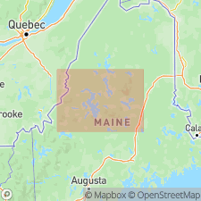
Summary:
The Spider Lake Formation in the Allagash Wilderness consists of extensive basaltic flows, hydroclastic rocks, and pyroclastic rocks that are interbedded with fossiliferous shale, basal conglomerate and massive reefal limestone. Unit occupies an area of approximately 325 sq mi and is nearly 10,500 ft thick. Most of the formation consists of basaltic volcanic rocks previously described and mapped as andesites. The assemblage represents a 20 Ma period of almost continuous volcanism and sedimentation. Fossil assemblages extend from Ludlovian to Helderbergian (Early Devonian). Deposition of the Early Devonian Seboomook Formation marks the end of volcanism and the beginning of turbidite deposition. Folding of both units occurred during Emsian time at the beginning of the Acadian Orogeny in this region.
Source: GNU records (USGS DDS-6; Reston GNULEX).
For more information, please contact Nancy Stamm, Geologic Names Committee Secretary.
Asterisk (*) indicates published by U.S. Geological Survey authors.
"No current usage" (†) implies that a name has been abandoned or has fallen into disuse. Former usage and, if known, replacement name given in parentheses ( ).
Slash (/) indicates name conflicts with nomenclatural guidelines (CSN, 1933; ACSN, 1961, 1970; NACSN, 1983, 2005, 2021). May be explained within brackets ([ ]).