

- Usage in publication:
-
- Spears Formation
- Modifications:
-
- Paleomagnetics
- AAPG geologic province:
-
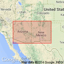
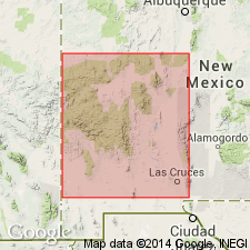
- Orogrande basin
Summary:
In the Bear and Magdalena Mountains, Socorro Co, NM, Orogrande basin, older andesites of the Spears Formation are found to be normally magnetized, and may correlate with lower part of Rubio Peak Formation of the southern Black Range and Dwyer quad (Grant Co, NM in Basin-and-Range province). Magnetostratigraphic position of Spears and Rubio Peak units within a preliminary model of the middle Tertiary paleomagnetic reversal pattern is depicted on fig. 4.
Source: GNU records (USGS DDS-6; Denver GNULEX).
- Usage in publication:
-
- Spears Formation
- Modifications:
-
- Revised
- Geochronologic dating
- AAPG geologic province:
-
- Orogrande basin
- Basin-and-Range province
Summary:
Is the basal formation of Datil Group (raised in rank). Present throughout northeast Mogollon-Datil volcanic field, NM, Orogrande basin and Basin-and-Range province. Consists of volcaniclastic rocks mainly andesitic to latitic clasts and subordinate lava flows of basaltic andesite to dacite composition deposited as alluvial fan, braided stream, and lacustrine deposits. May be as much as 3,000 ft thick. Separable into members by intercalated ash-flow sheets (Datil Well, Rock House Canyon, and Blue Canyon Tuffs). Includes the informal andesite of White House Canyon. Divided in Datil and western Gallinas Mountains into (ascending): Dog Springs, Chavez Canyon, and Rincon Windmill Members, all three named. Datil Well Tuff tongues into Chavez Canyon. Rock House Canyon Tuff (new) separates Chavez Canyon from Rincon Windmill. Blue Canyon tongues into Rincon Windmill. Ranges between 39 and 33 m.y. or Oligocene on basis of several K-Ar and F-T dates. Age constrained also by dates obtained from overlying Hells Mesa Tuff. Underlain by Baca Formation. Vent areas unknown except for several intrusives in Dog Springs Member.
Source: GNU records (USGS DDS-6; Denver GNULEX).
For more information, please contact Nancy Stamm, Geologic Names Committee Secretary.
Asterisk (*) indicates published by U.S. Geological Survey authors.
"No current usage" (†) implies that a name has been abandoned or has fallen into disuse. Former usage and, if known, replacement name given in parentheses ( ).
Slash (/) indicates name conflicts with nomenclatural guidelines (CSN, 1933; ACSN, 1961, 1970; NACSN, 1983, 2005, 2021). May be explained within brackets ([ ]).