The National Geologic Map Database is migrating to a new infrastructure. We apologize for any service disruptions during this process.
|
|---|


- Usage in publication:
-
- Sowik limestone*
- Modifications:
-
- Named
- Dominant lithology:
-
- Limestone
- AAPG geologic province:
-
- Seward Peninsula province
- Alaska West-Central region
Summary:
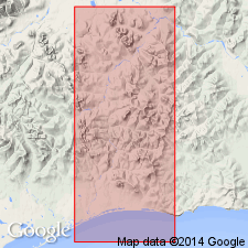
Named for settlement of Sowik near northern end of exposures of unit. Mapped in Casadepaga and Solomon quads, Seward Peninsula, west-central AK. Is part of Nome group which covered three-quarters of entire land of quads and included lower schist member and Port Clarence limestone. Sowik limestone was previously correlated with Port Clarence limestone, but inexpedient to correlate on lithologic basis since there are at least four different limestones ranging in age from Cambrian to Carboniferous on Seward Peninsula. Sowik limestone is limited to massive limestone immediately unconformably(?) overlying Solomon schist (new). Consists of massive bluish-white calcareous nondolomitic limestone with thickness of 400 to 1000 ft. Underlies Hurrah slate (new). Age given as Ordovician(?).
Source: GNU records (USGS DDS-6; Menlo GNULEX).
For more information, please contact Nancy Stamm, Geologic Names Committee Secretary.
Asterisk (*) indicates published by U.S. Geological Survey authors.
"No current usage" (†) implies that a name has been abandoned or has fallen into disuse. Former usage and, if known, replacement name given in parentheses ( ).
Slash (/) indicates name conflicts with nomenclatural guidelines (CSN, 1933; ACSN, 1961, 1970; NACSN, 1983, 2005, 2021). May be explained within brackets ([ ]).