

- Usage in publication:
-
- South Creek Formation*
- Modifications:
-
- Named
- Dominant lithology:
-
- Limestone
- AAPG geologic province:
-
- Snake River basin
Summary:
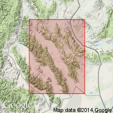
Named as one of four new formations assigned to the White Knob Group (rank raised). Named for exposures (the type section) at South Creek, southern Lemhi Range, Butte Co, ID in the Snake River basin. Overlies Scott Peak Formation (new) of White Knob Group; the contact represents a change from mixed crystalline or bioclastic limestone and dark, fine-grained limestone (Scott Peak) with thin-bedded, fine-grained, cherty limestone 3 to 6 in thick with silty clayey limestone 1-2 in thick (South Creek). Is 300 ft thick unit that varies regionally between 300-400 ft thick of dark to medium-gray, rubbly weathering, thin-bedded limestone. Chert occurs as nodules, interbeds, and as incomplete replacements. Few scattered remnants of an inarticulate brachiopod. Has no known counterpart west of the Wasatch line. Interpreted as a deeper water mud hostile to benthonic faunas, except for sponges and chitinophosphatic brachiopods. Columnar section. Present in miogeosynclinal area; absent in transition zone and cratonic area. Mississippian age.
Source: GNU records (USGS DDS-6; Denver GNULEX).
- Usage in publication:
-
- South Creek Formation*
- Modifications:
-
- Reference
- Biostratigraphic dating
- AAPG geologic province:
-
- Snake River basin
Summary:
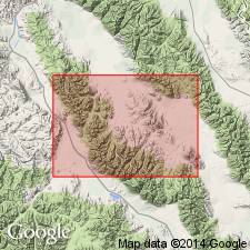
Reference section about 100 ft thick designated along crest from NW1/4 NW1/4 to SE1/4 SE1/4 sec 25, T9N, R26E, Butte Co, ID in the Snake River basin. Shown as mostly a covered interval in columnar section representing the reference section. Overlies Scott Peak Formation; underlies Surrett Canyon Formation. [Term White Knob Group (Huh, 1967) not used.] Ranges in thickness from 220 to 475 ft in the Lost River Range where it is poorly exposed, forming slopes covered with fragments of gray-black, thin-bedded to platy limestone. Foraminifera Zone 16S of late Visean, Chesterian age represented. Fossils listed (forams, algae, and a few brachiopods, gastropods, and clams). Entire formation assigned to megafossil Zone K. Correlation chart; cross section.
Source: GNU records (USGS DDS-6; Denver GNULEX).
- Usage in publication:
-
- South Creek Formation*
- Modifications:
-
- Overview
- AAPG geologic province:
-
- Snake River basin
Summary:
Is equivalent to Lombard Limestone (new) of Snowcrest Range Group (new) of southwest MT of the Montana folded belt province.
Source: GNU records (USGS DDS-6; Denver GNULEX).
For more information, please contact Nancy Stamm, Geologic Names Committee Secretary.
Asterisk (*) indicates published by U.S. Geological Survey authors.
"No current usage" (†) implies that a name has been abandoned or has fallen into disuse. Former usage and, if known, replacement name given in parentheses ( ).
Slash (/) indicates name conflicts with nomenclatural guidelines (CSN, 1933; ACSN, 1961, 1970; NACSN, 1983, 2005, 2021). May be explained within brackets ([ ]).