- Usage in publication:
-
- Somerset shale member*
- Modifications:
-
- Named
- Dominant lithology:
-
- Shale
- AAPG geologic province:
-
- Cincinnati arch
Summary:
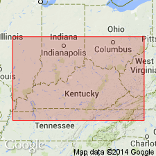
Somerset shale member of Warsaw formation named in this report. Consists of calcareous shale or shaly limestone with variable amount of highly fossiliferous limestone of usual Warsaw (Harrodsburg) type intercalated in it in thick and thin layers. Thickness 10 to 50 ft; 20 ft at Somerset. Lies near top of Warsaw, but stratigraphically lower than Garrett Mill sandstone member. Is overlain by a few ft of thick-bedded limestone containing Warsaw fossils, and above this limestone lies St. Louis limestone. Age is Mississippian. [Later abandoned according to GNC records.]
Source: GNU records (USGS DDS-6; Reston GNULEX).

- Usage in publication:
-
- Somerset shale member
- Modifications:
-
- Revised
- AAPG geologic province:
-
- Cincinnati arch
Summary:
Throughout Kentucky belt, Butts (1922) identified three members of the Warsaw (ascending): Wildie sandstone, Somerset shale, and Garrett Mill sandstone. Somerset shale member has been traced from southern IN to type locality at Somerset, Pulaski Co., and is interpreted as being a basal argillaceous phase of the Salem limestone at the top of the Harrodsburg division of Warsaw. The Wildie sandstone of Butts is included in Wildie siltstone member of Muldraugh formation (new); Garrett Mill of Butts is in upper part of Salem.
Source: GNU records (USGS DDS-6; Reston GNULEX).

- Usage in publication:
-
- Somerset Shale Member
- Modifications:
-
- Areal extent
- Overview
- AAPG geologic province:
-
- Cincinnati arch
Summary:
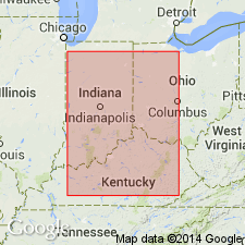
Section at Tunnel Hill used as a reference section in this study. Unit is equivalent to Science Hill Sandstone Member of Warsaw Formation. Extends from south-central KY to IN. As basal member was deposited between carbonate bars of Salem Limestone below normal wave base but above storm wave base. Overlies Harrodsburg Limestone. Age is Late Mississippian (Meramecian). Report includes 18 measured sections.
Source: GNU records (USGS DDS-6; Reston GNULEX).
For more information, please contact Nancy Stamm, Geologic Names Committee Secretary.
Asterisk (*) indicates published by U.S. Geological Survey authors.
"No current usage" (†) implies that a name has been abandoned or has fallen into disuse. Former usage and, if known, replacement name given in parentheses ( ).
Slash (/) indicates name conflicts with nomenclatural guidelines (CSN, 1933; ACSN, 1961, 1970; NACSN, 1983, 2005, 2021). May be explained within brackets ([ ]).

